Betchworth to Brockham

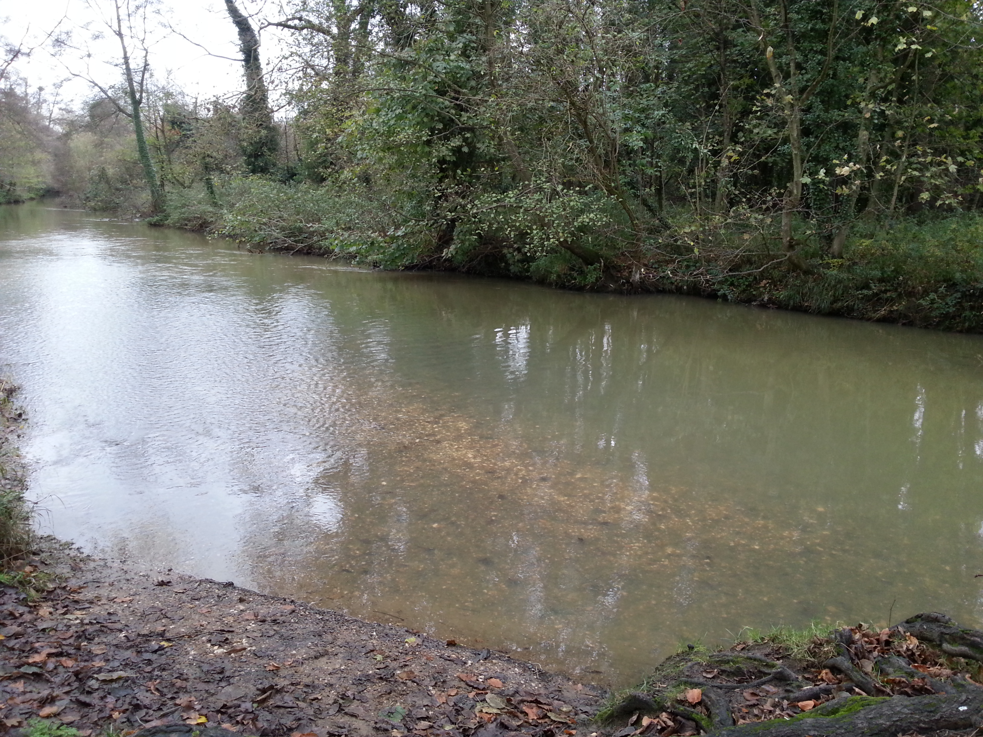
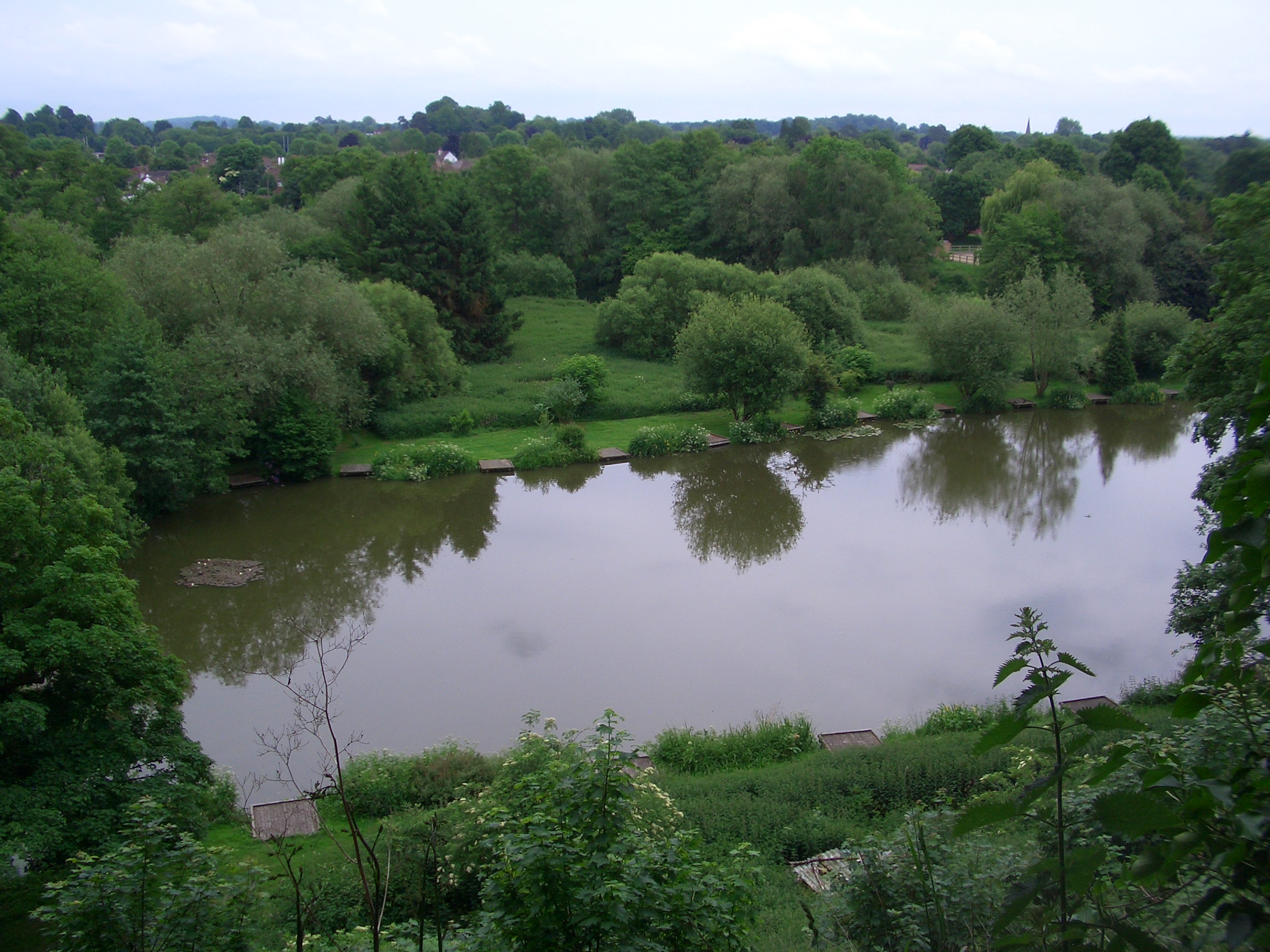
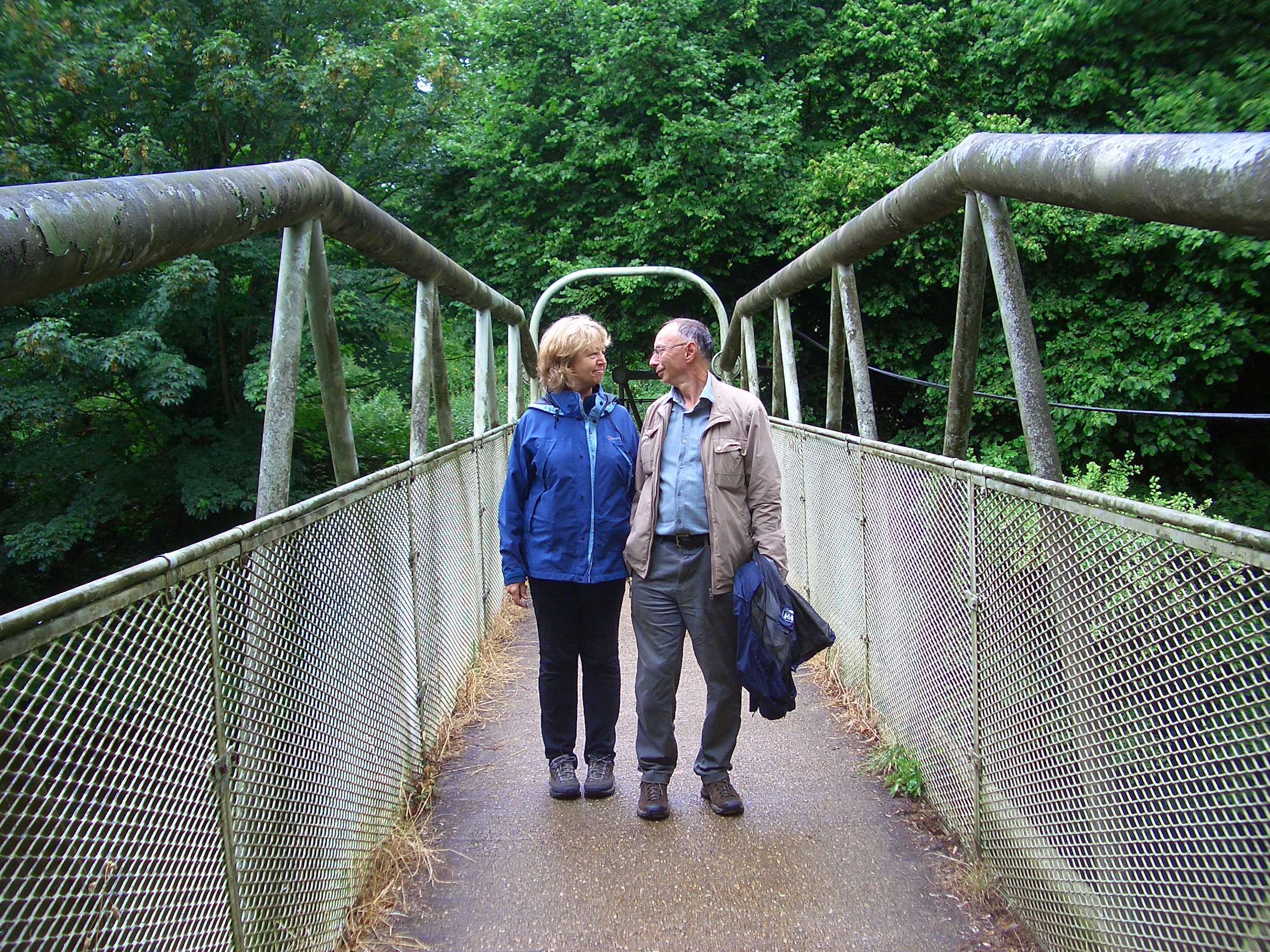
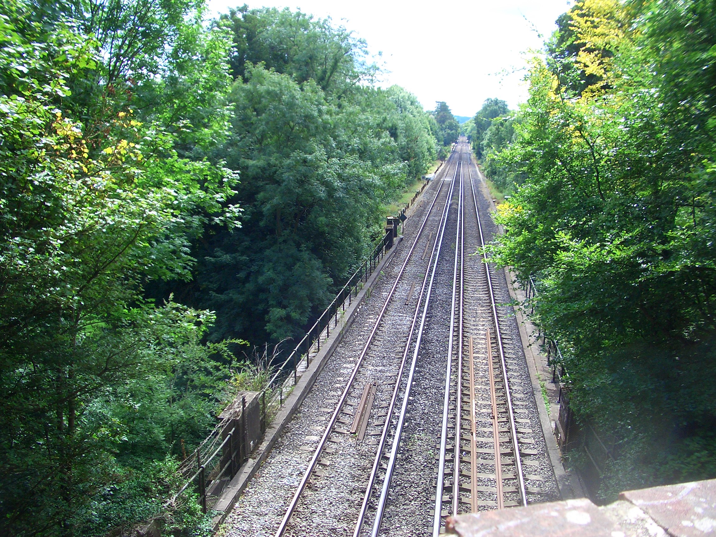
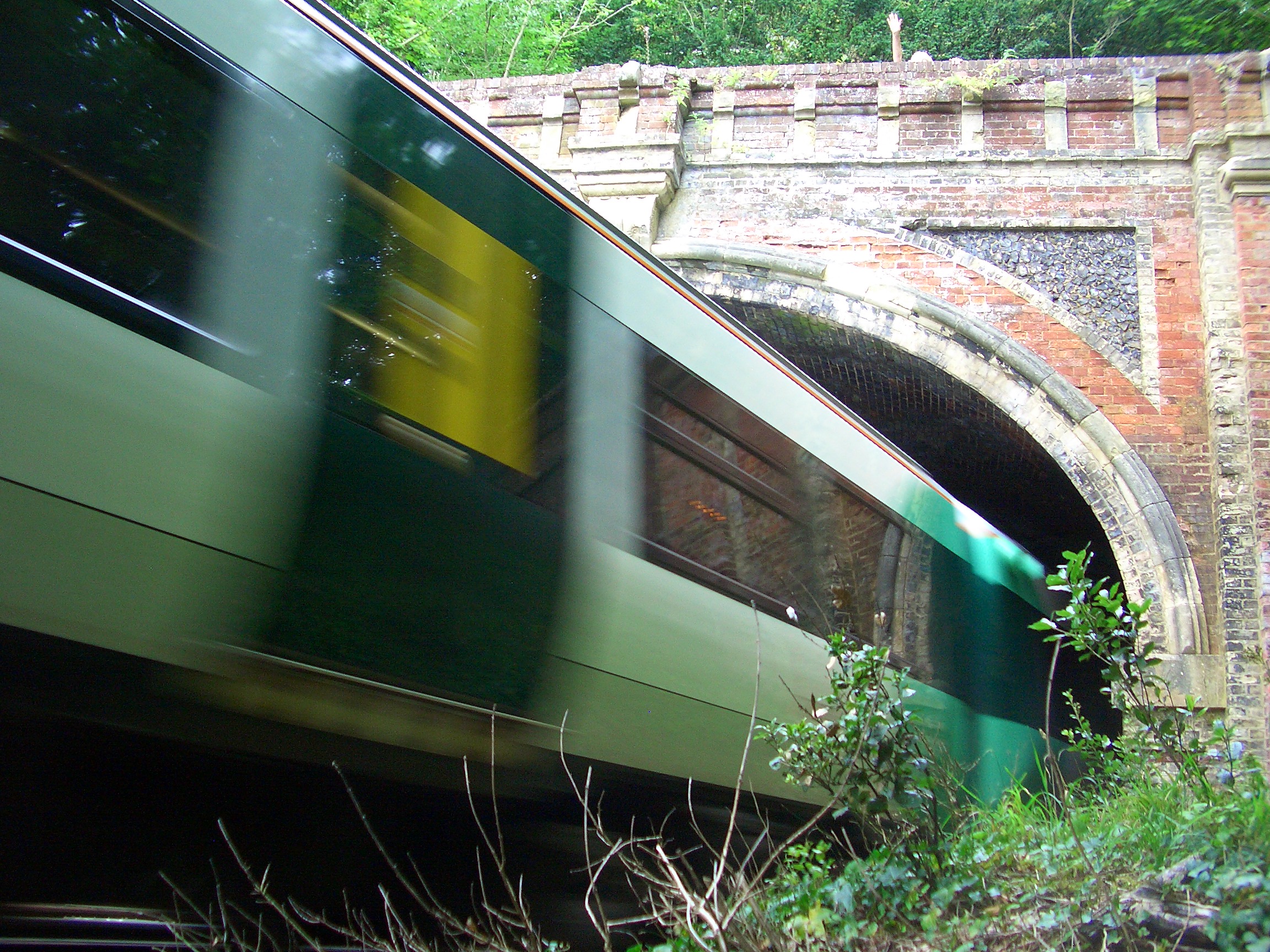
The village of Betchworth seems to stretch out a long way, from the train station at the beginning of the climb to Box Hill, south to the bridge over the river Mole.

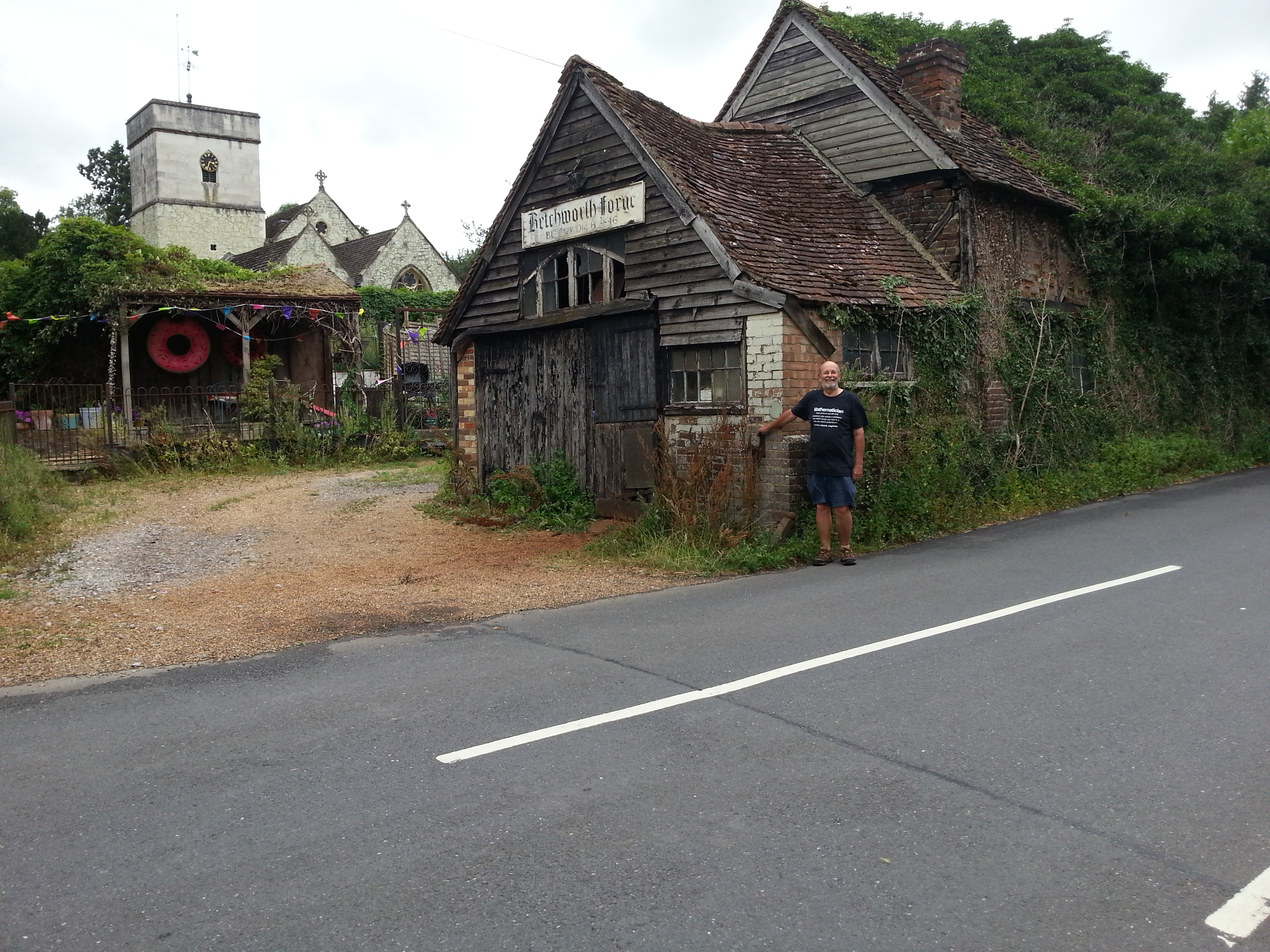
In the middle of the village is the Dolphin Pub, across the road from the Betchworth Forge and nearby St Michael’s Church. The Dolphin probably gets its name from a visit by the crown prince (the ‘dauphin’ or ‘dolphin’) of France in 1216. According to the Dorking Museum website, Louis ‘the Lion’, crown prince of France, was offered the throne of England by rebel English barons (a year after magna carta!). Louis was welcomed in London and set out for Guildford, passing through Betchworth and Dorking, where he rallied support. Curiously, French crown princes did not bear the title Dauphin (which means Dolphin) until 1349, more than a century later, but it is likely that the Prince’s visit lingered long in local memory, and someone later named the village inn after the ‘Dolphin’ who had stayed in the village.
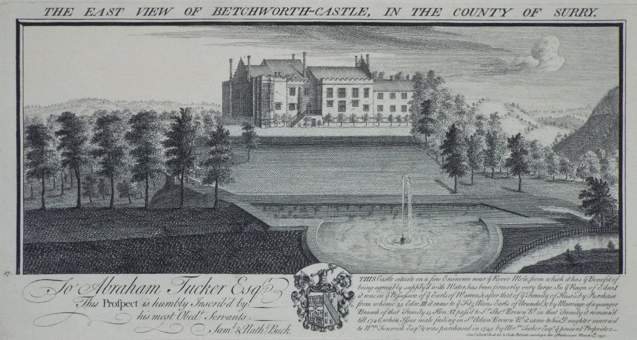
After an agreeable lunch at the Dolphin, I pose by the old forge in Betchworth!

Betchworth Estate

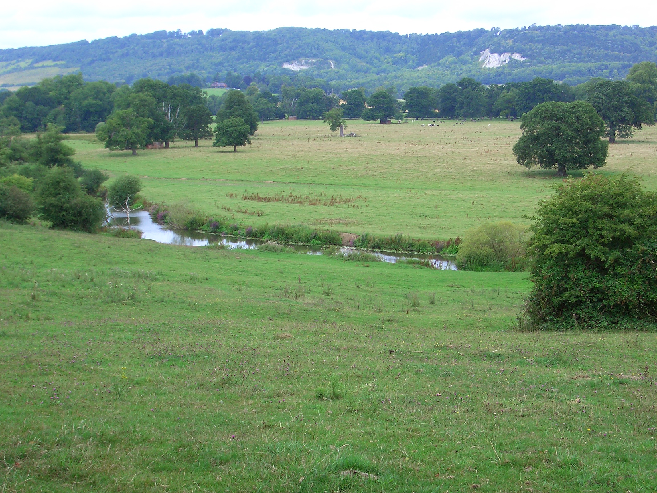
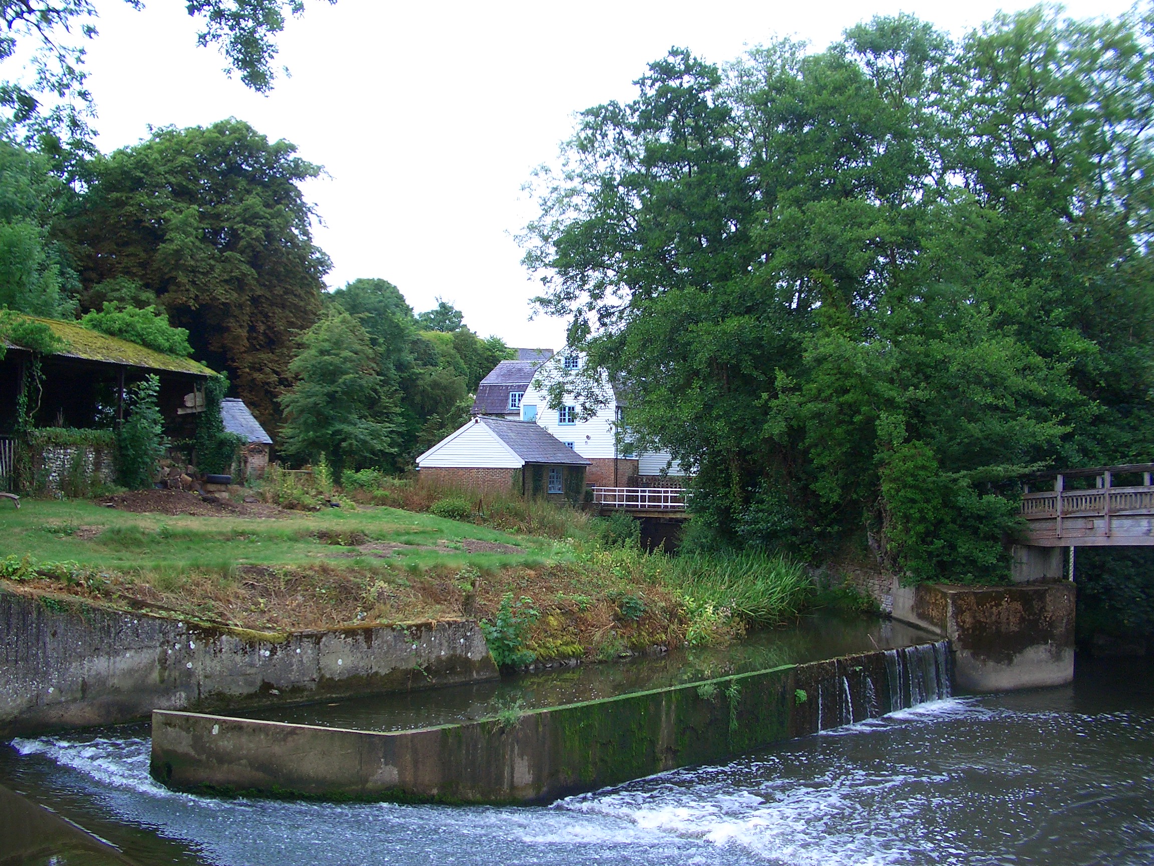
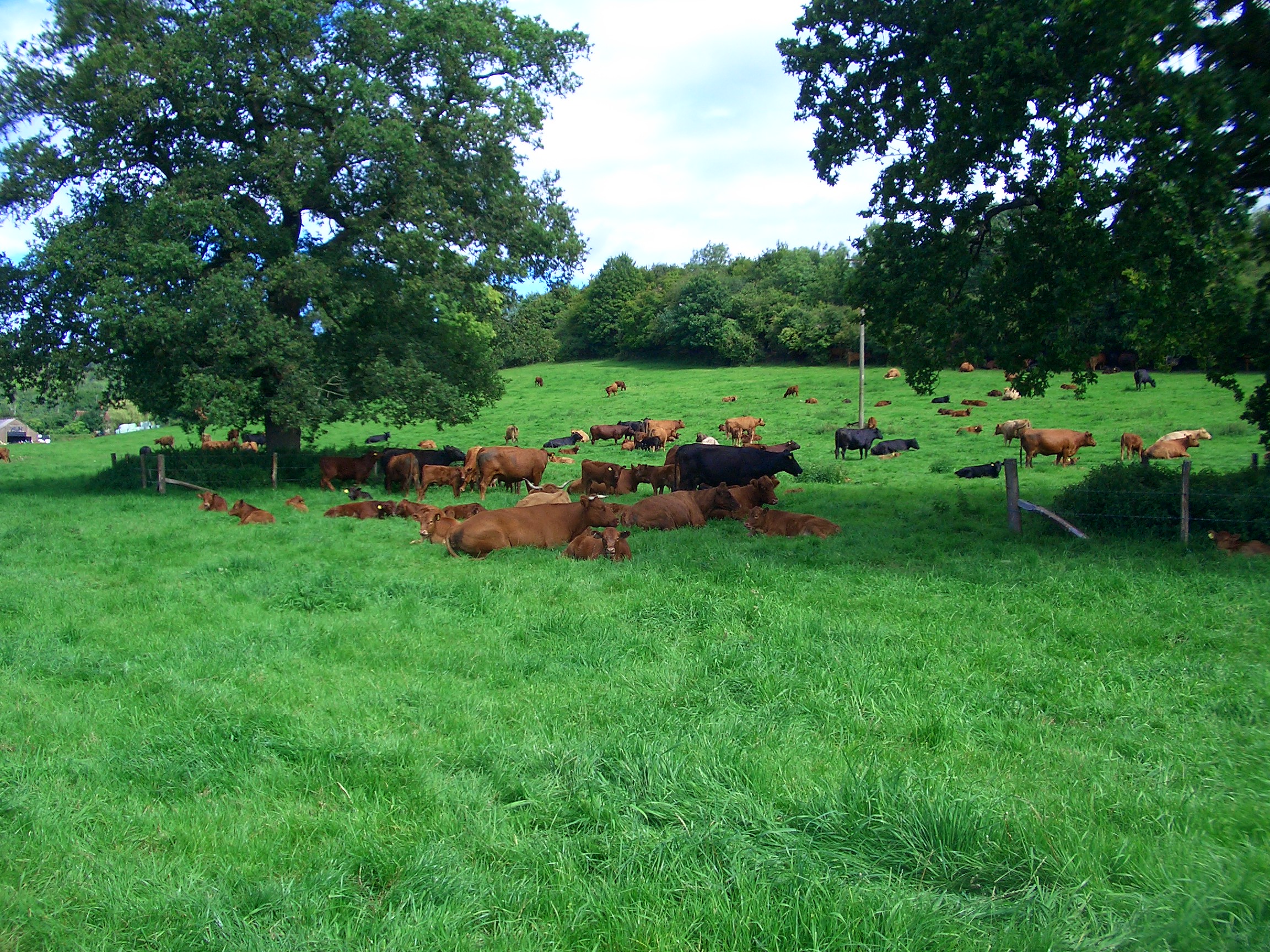
At the southern end of Betchworth, the River Mole runs by Betchworth House, the old Manor house and centre of Betchworth Estate. The privately-owned estate consists of some 1,100 acres of farmland, 150 acres of woodland and a number of rental properties including the local post office and forge. The estate has been in the same family since 1816, and according to the website, the current three generations of the Hamilton family, who live on the Estate, are committed to ensuring its preservation and contribution to the continuing development of the Betchworth village community.

Betchworth House, the old Manor house and centre of the Betchworth Estate, near the bridge over the Mole.

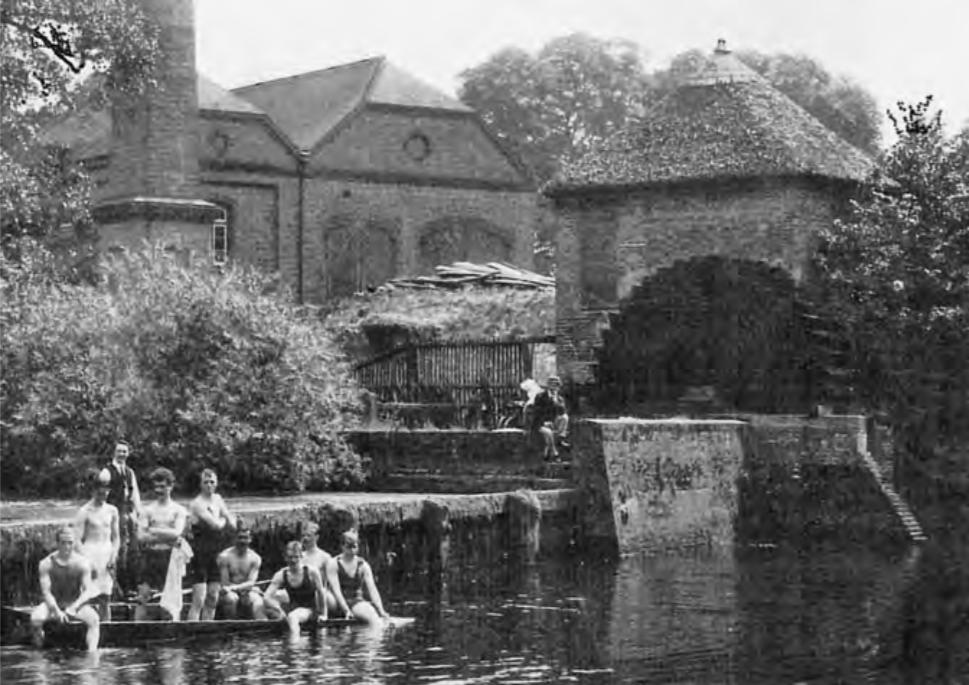
The 18th-century weir at Betchworth was modified in 2004 to facilitate the installation of two 27.5 kW low-head hydro turbines. About 90% of the energy generated is fed into the regional electricity grid, while the remainder is used to supply the Betchworth Park Estate, where the weir is situated. https://en.wikipedia.org/wiki/River_Mole
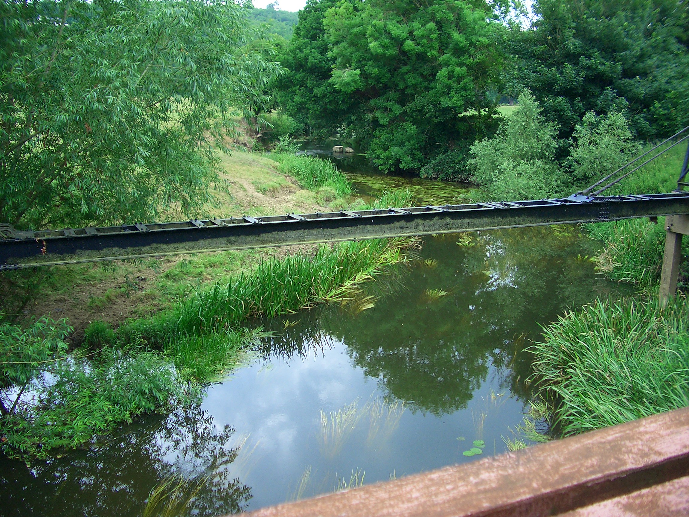
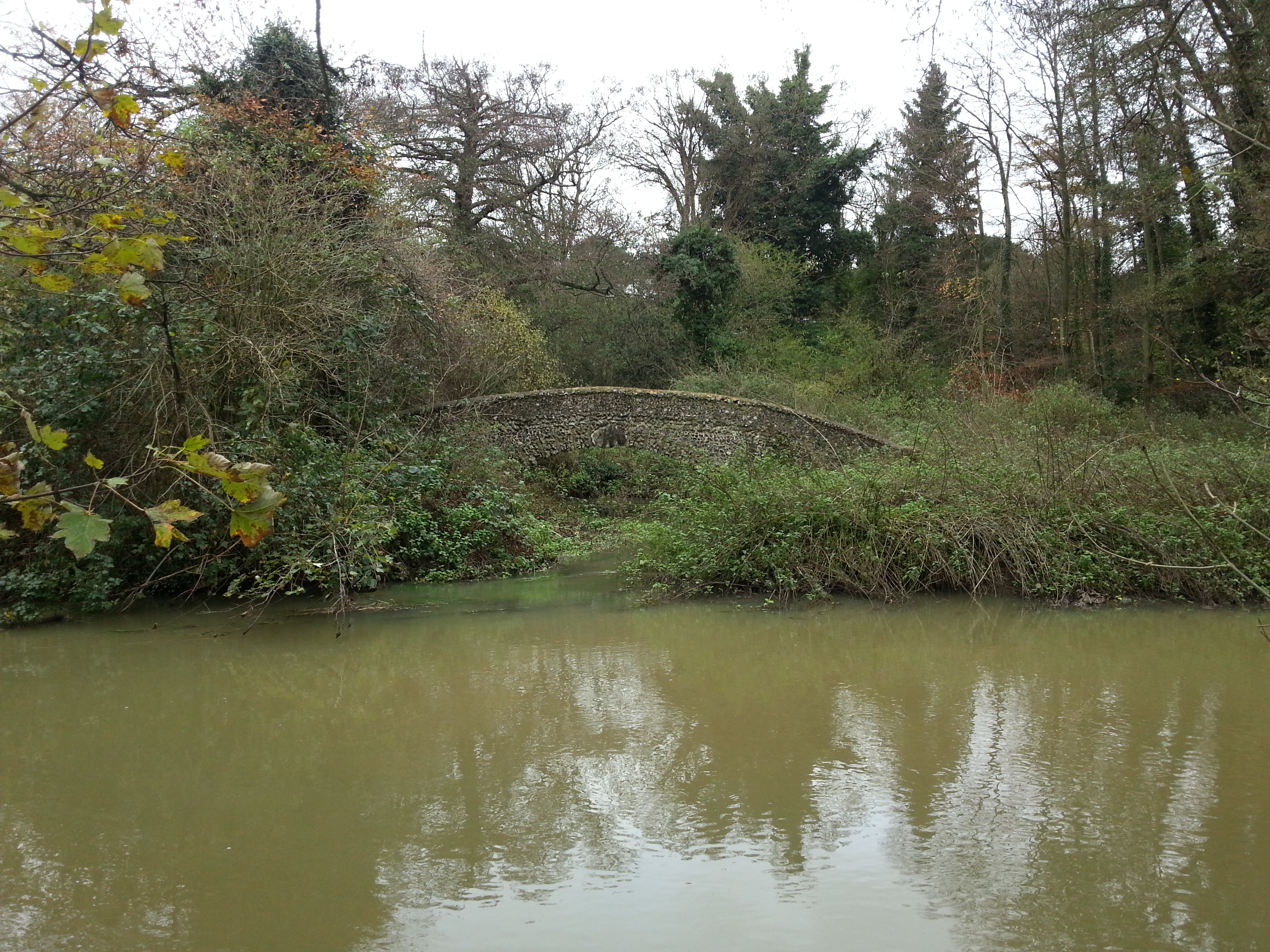
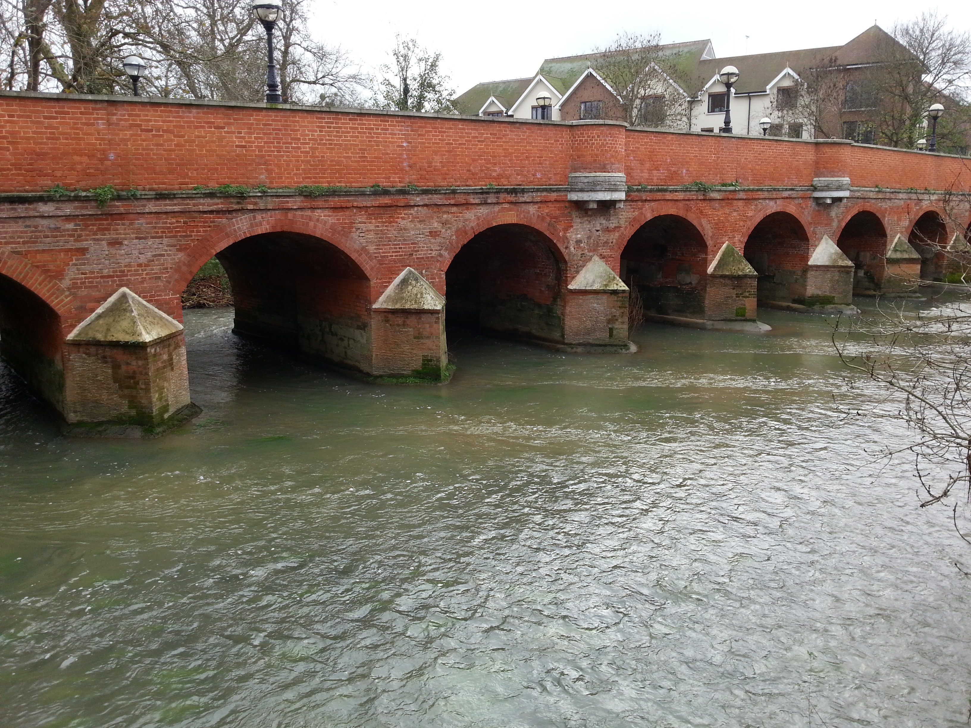
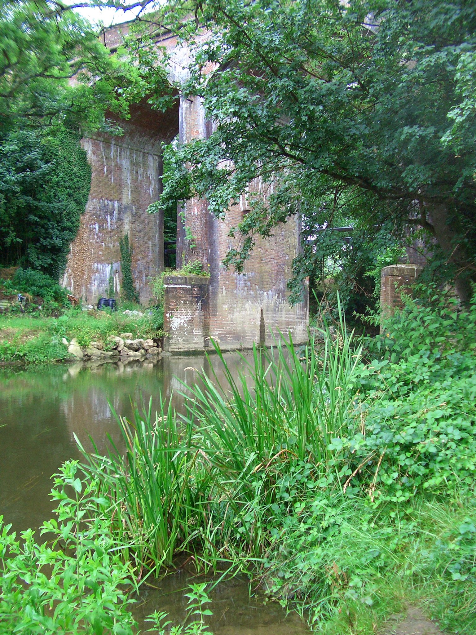
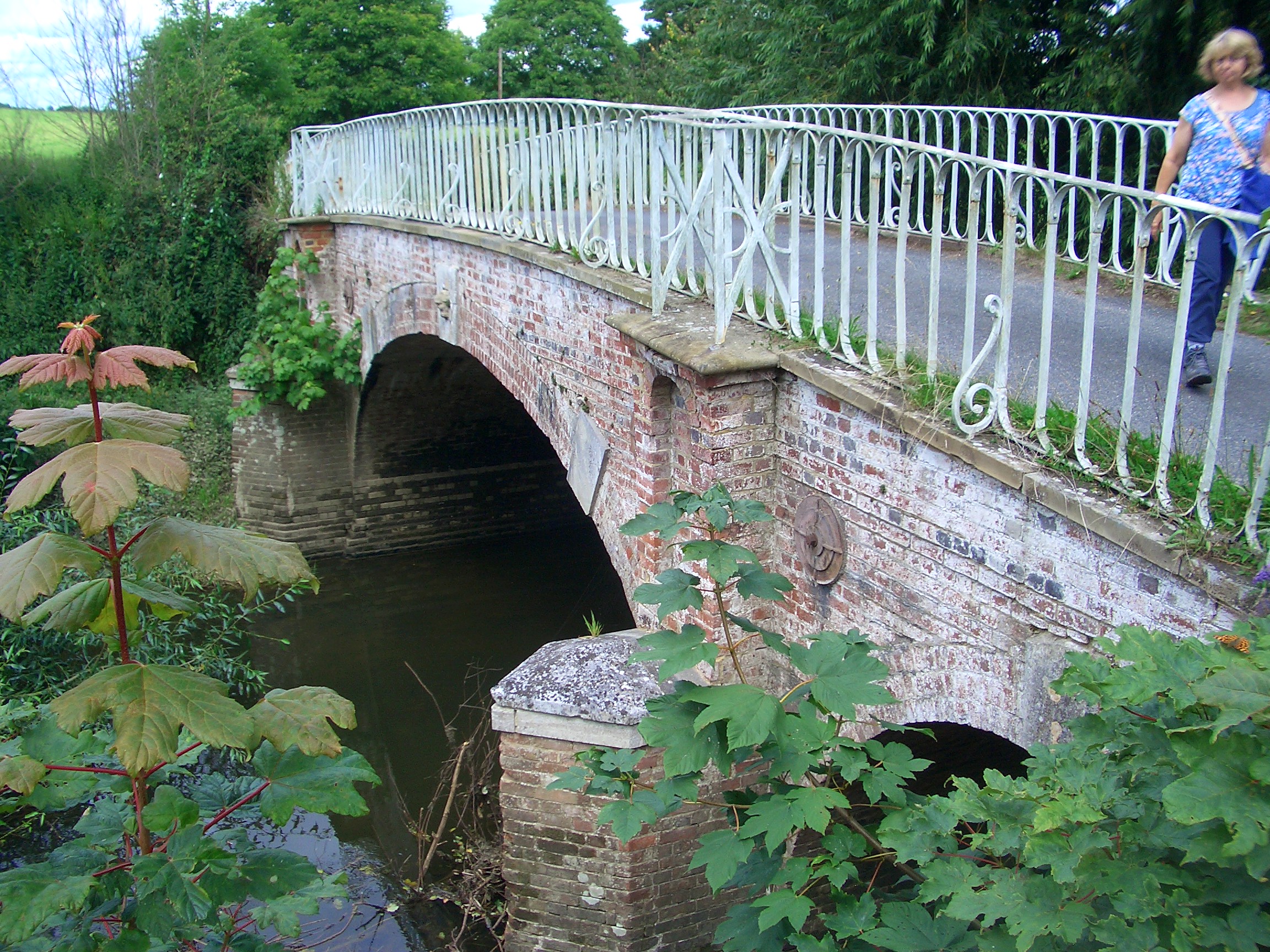
Betchworth Bridge

According to a plaque, the bridge was built in 1842 and refurbished in 1993 by Surrey CC.

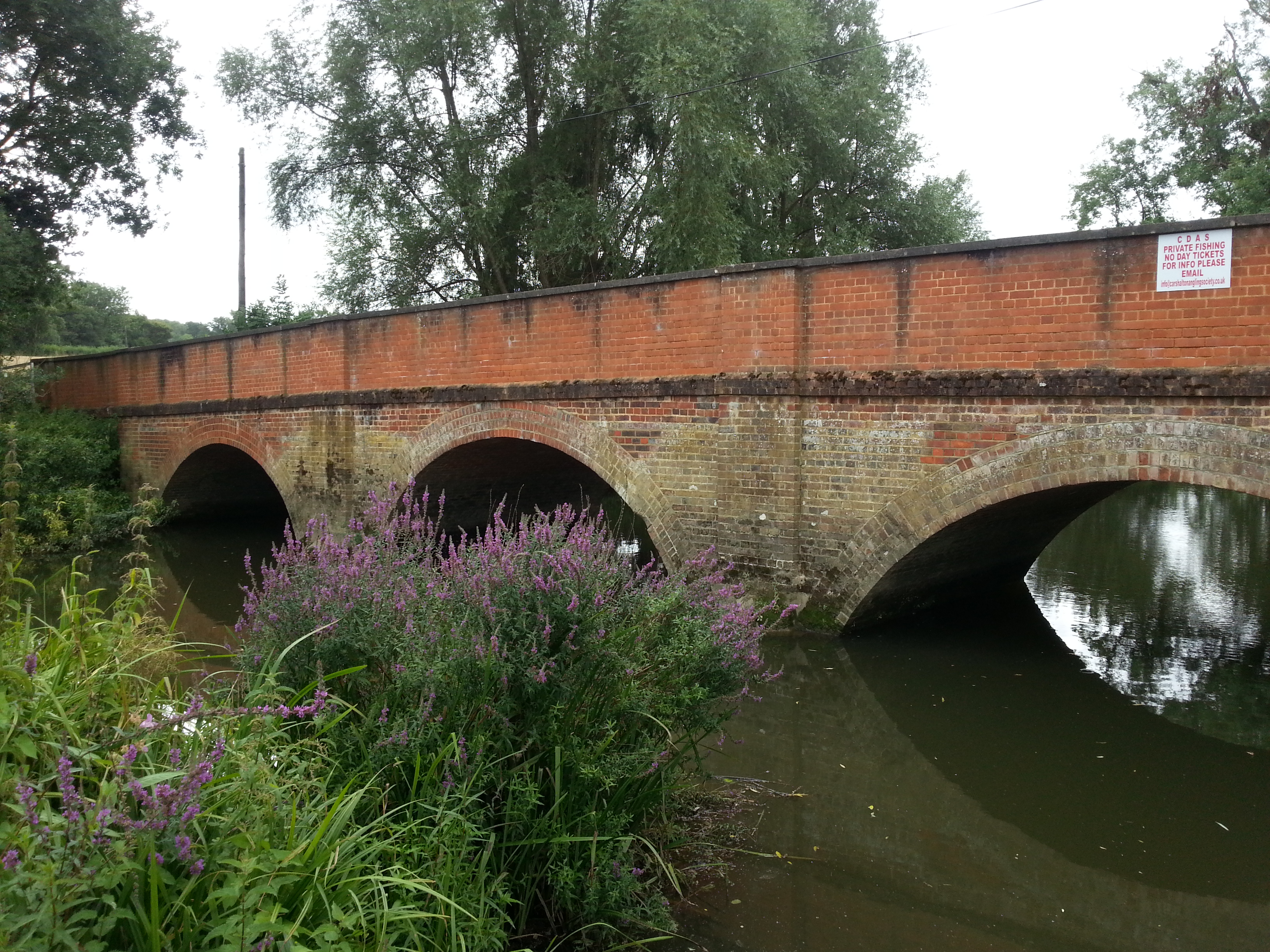
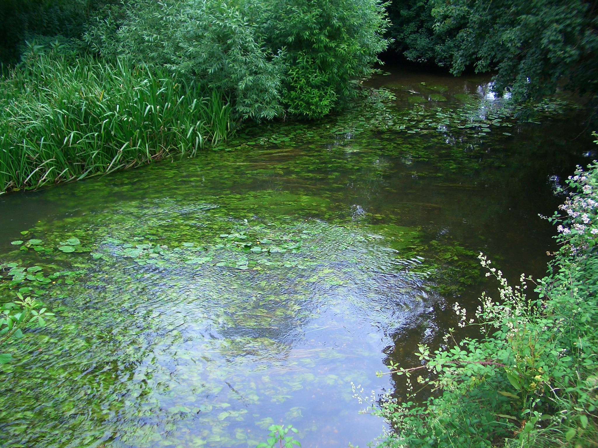
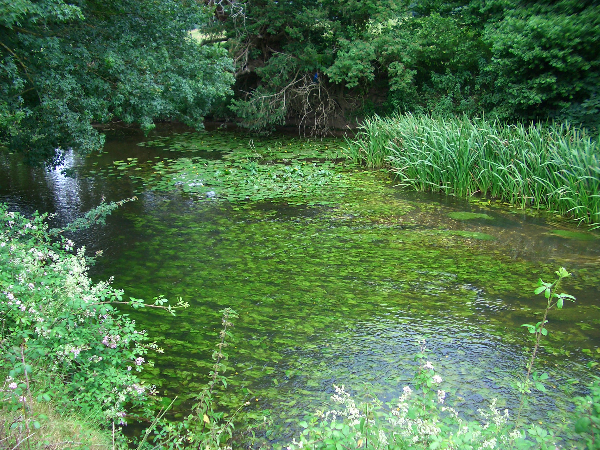
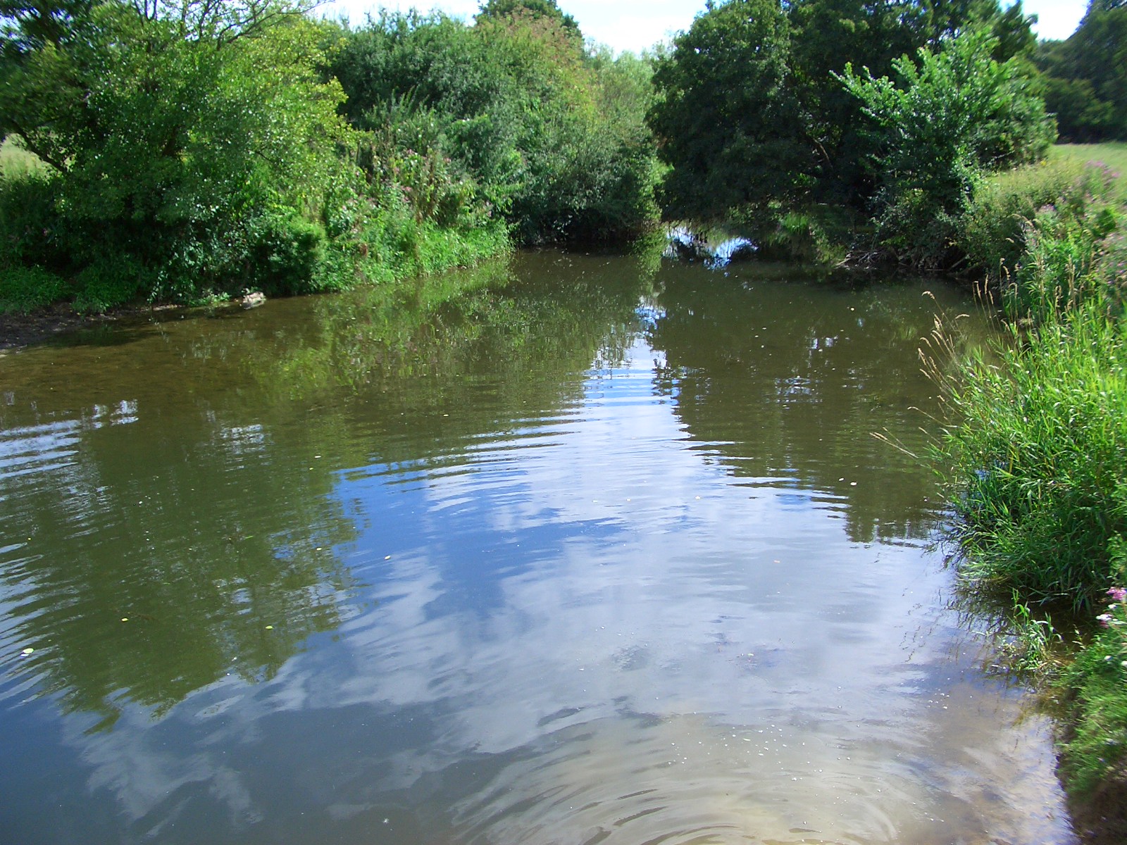
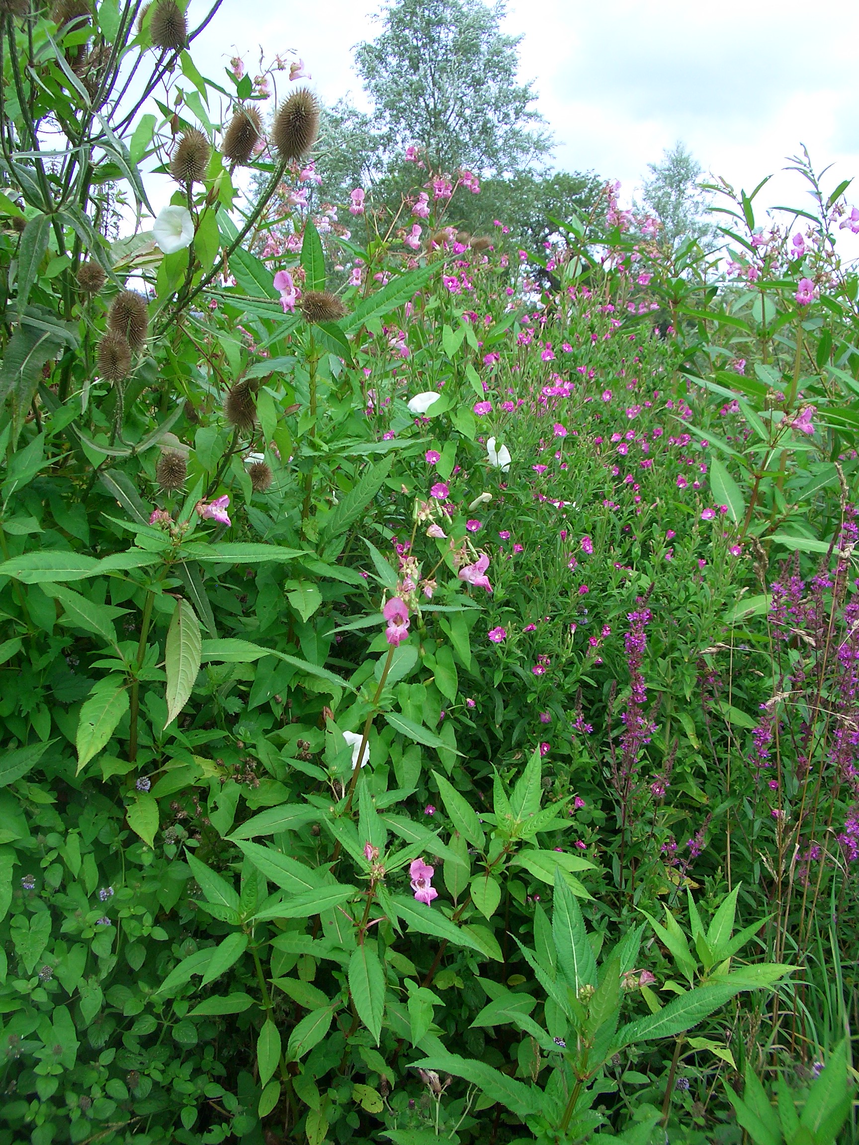
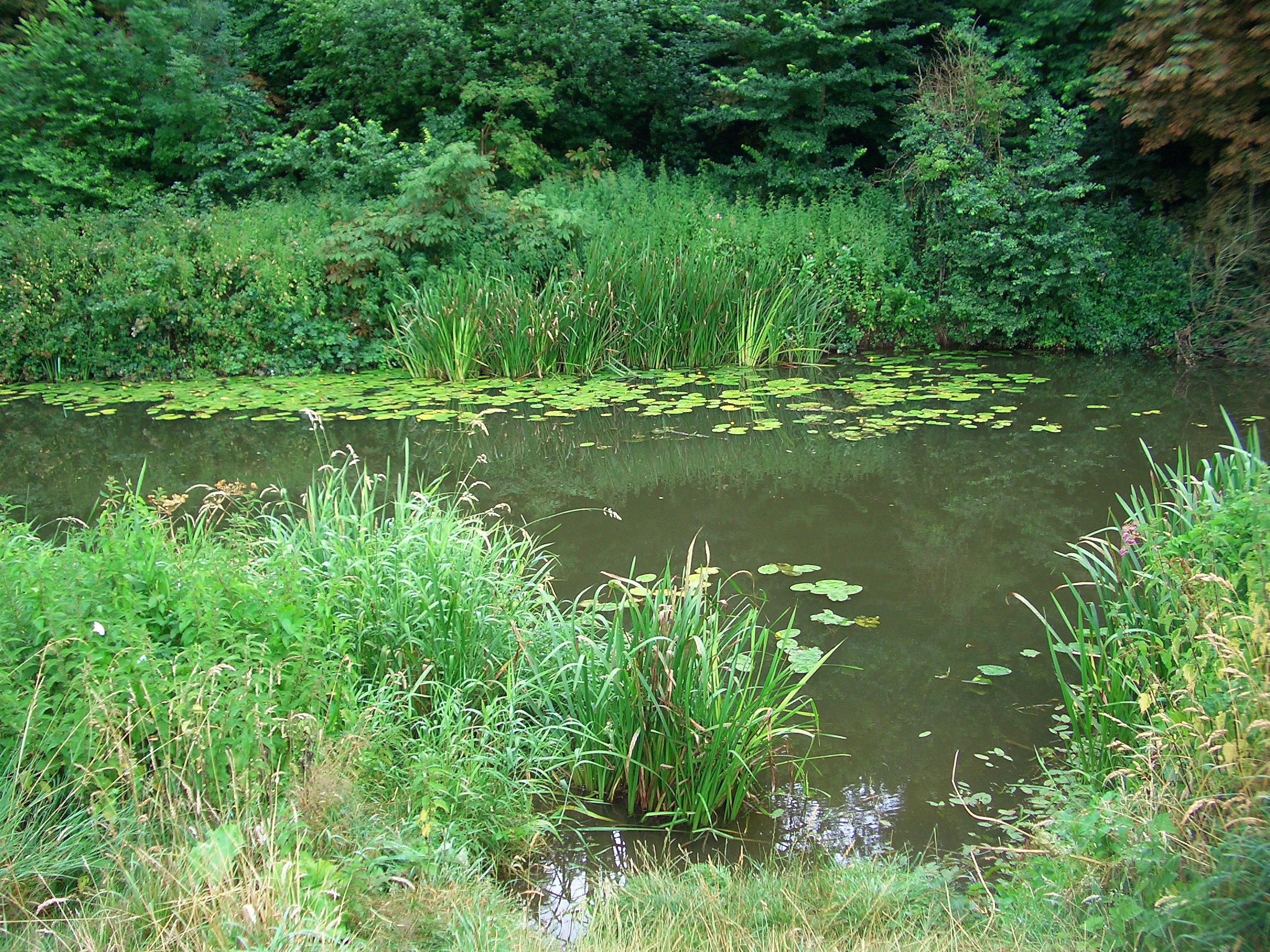
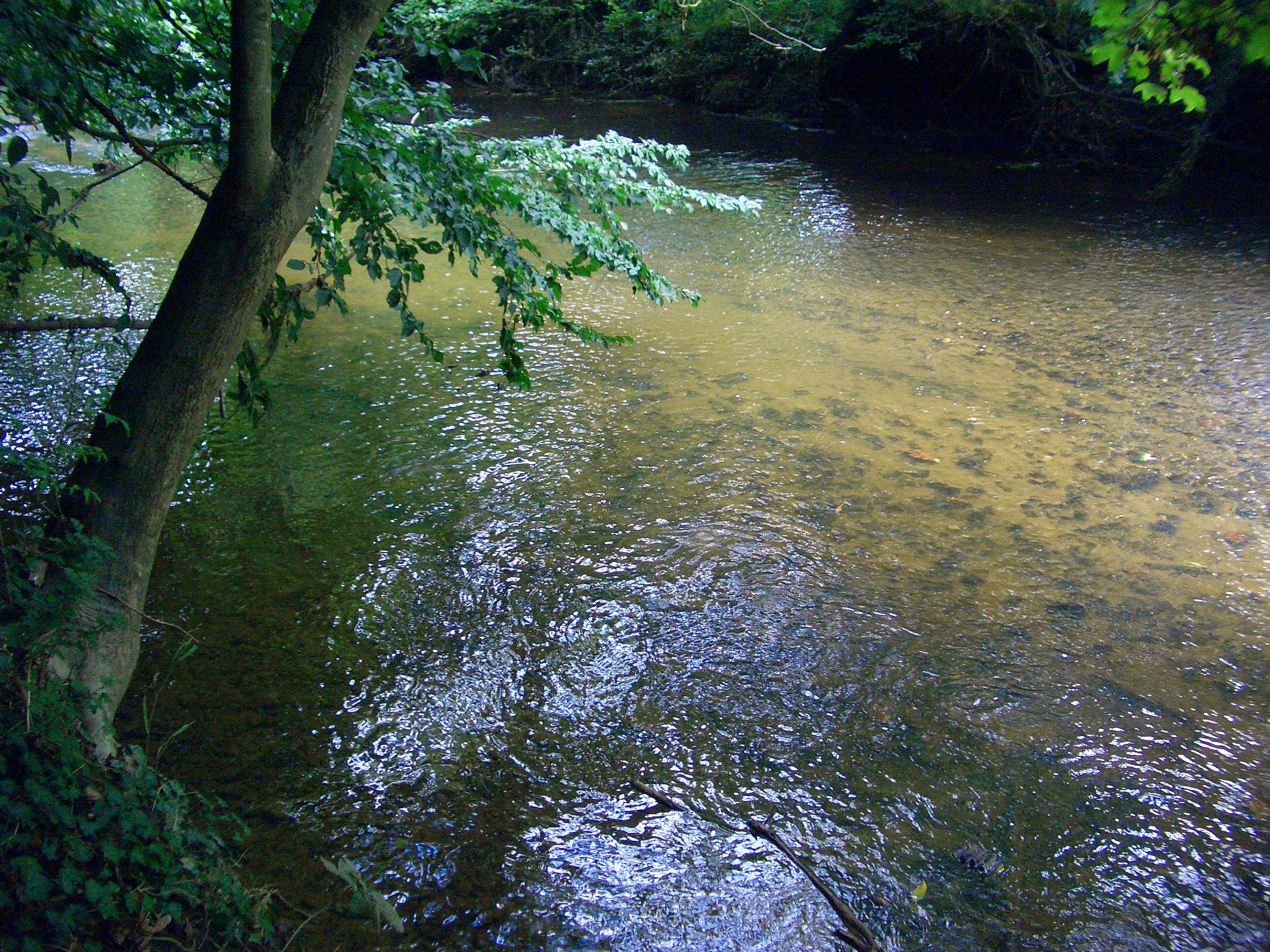
The banks of the Mole near Betchworth bridge are fished by the Carshalton and District Angling society, and are covered with flowers in the summertime, including purple loosestrife, greater willow-herb, teasel and watermint. 
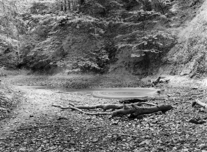
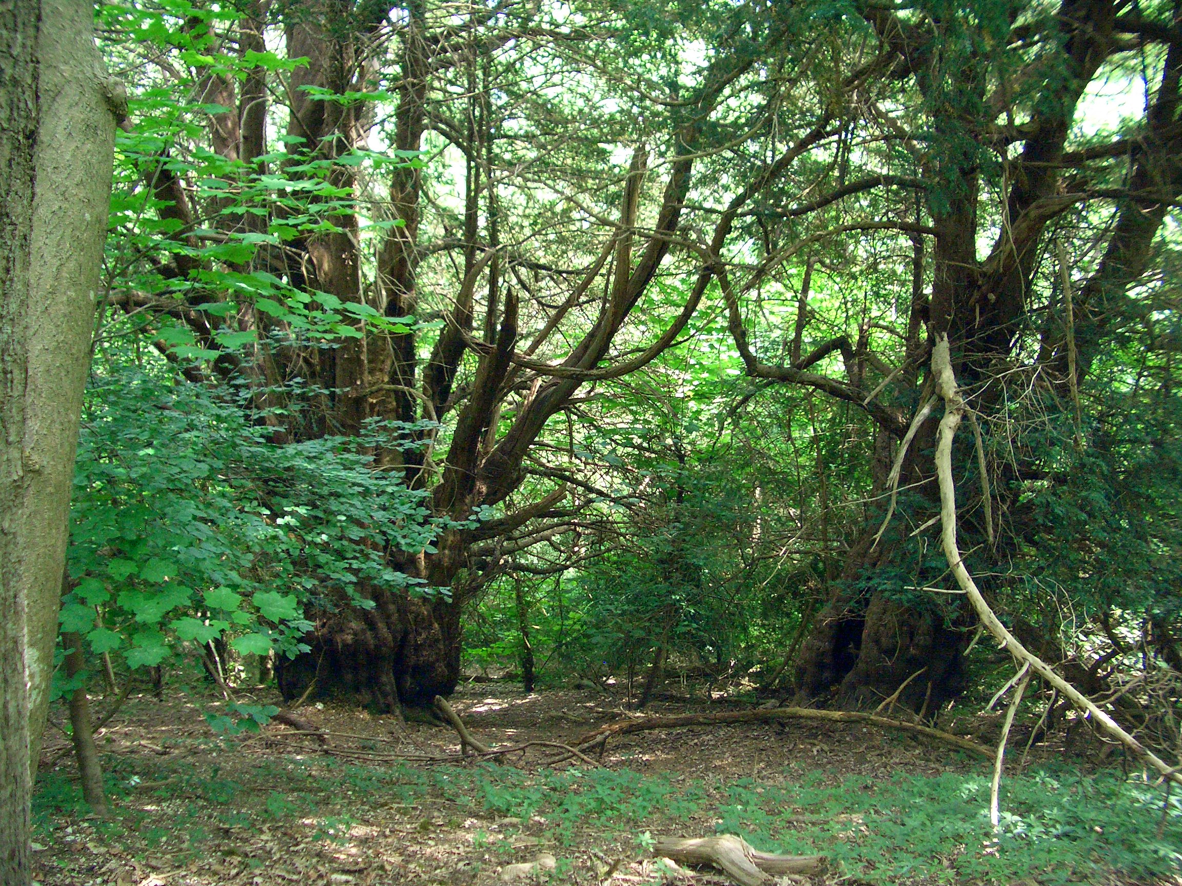
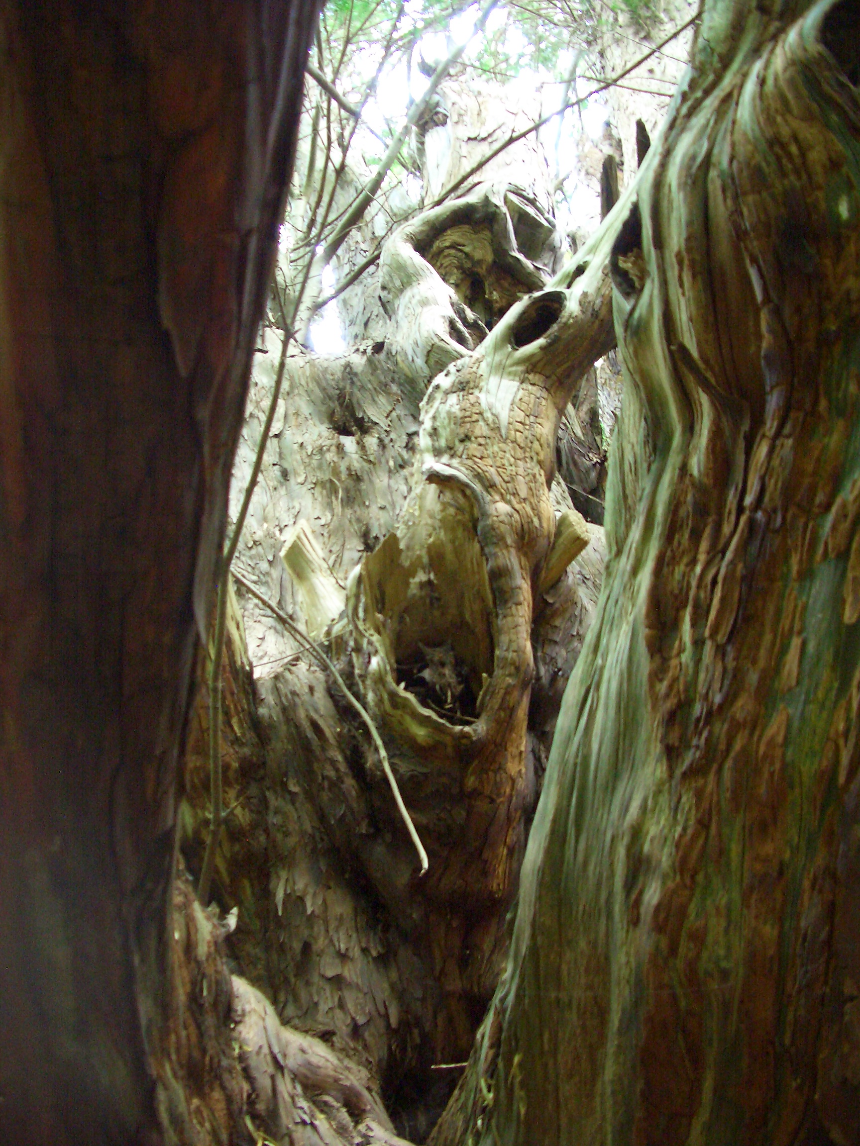
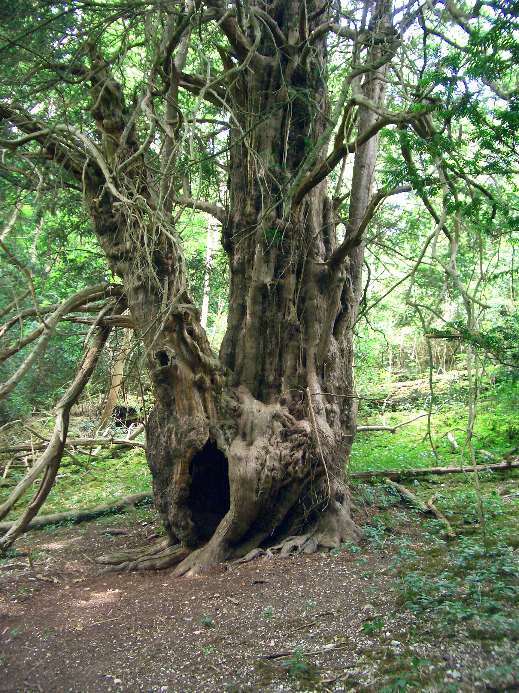
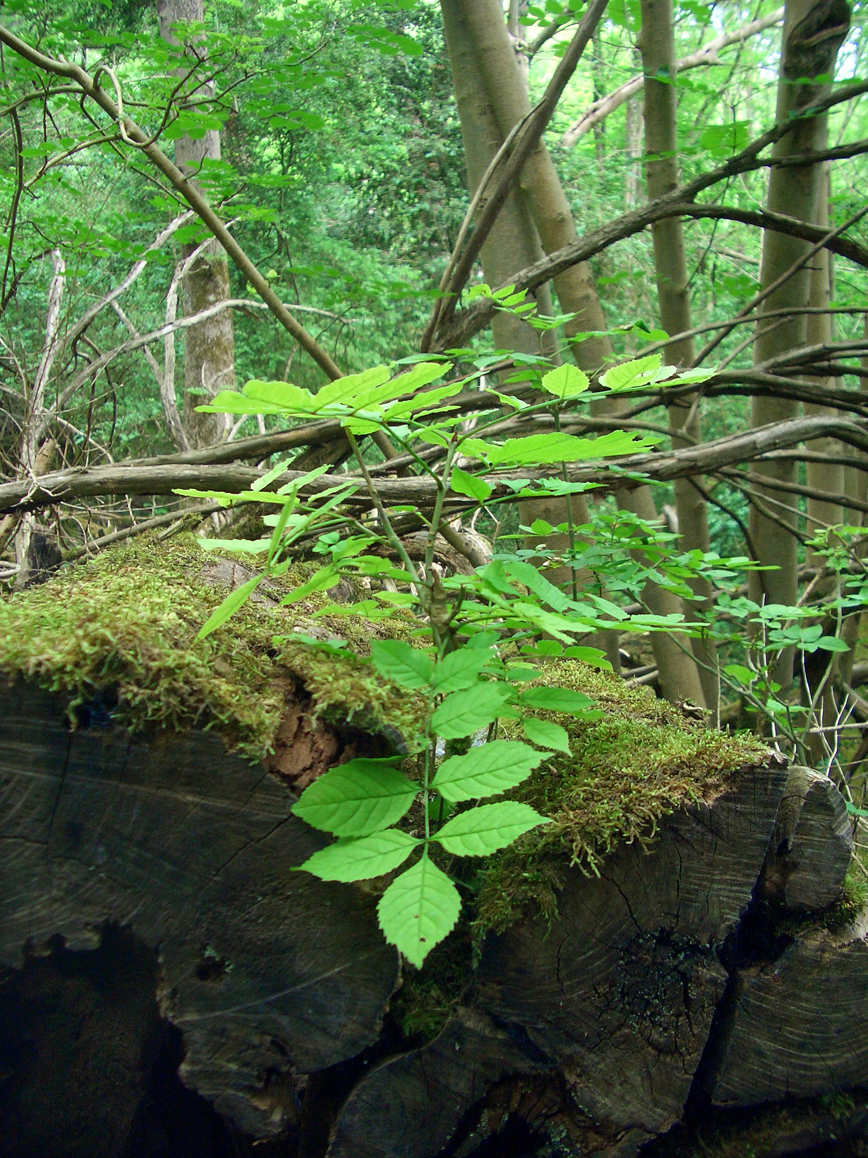
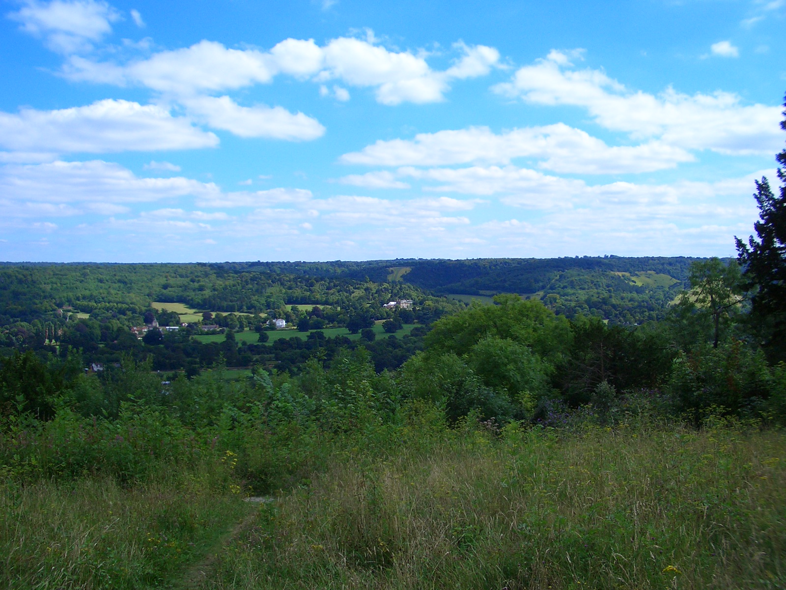
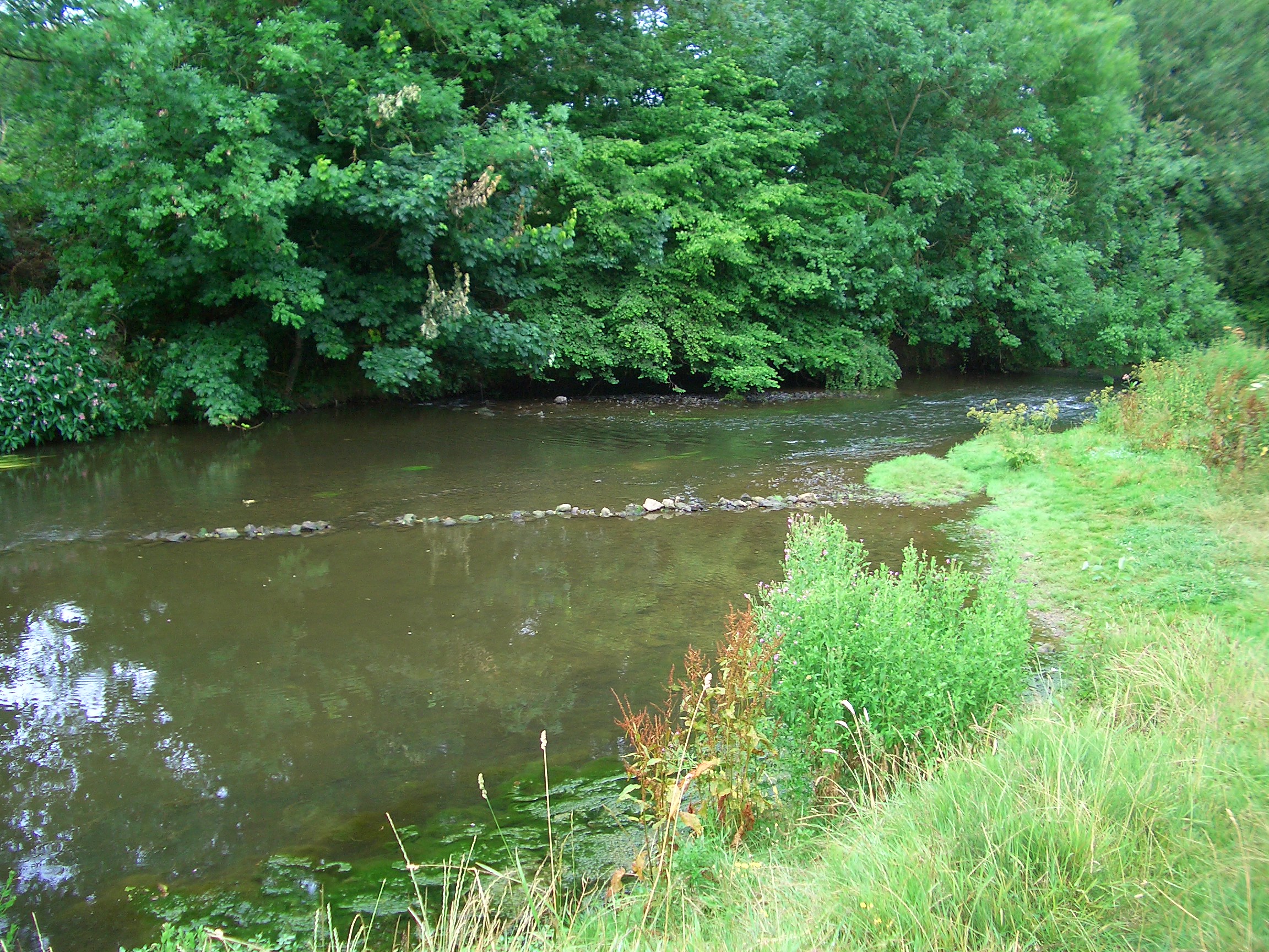
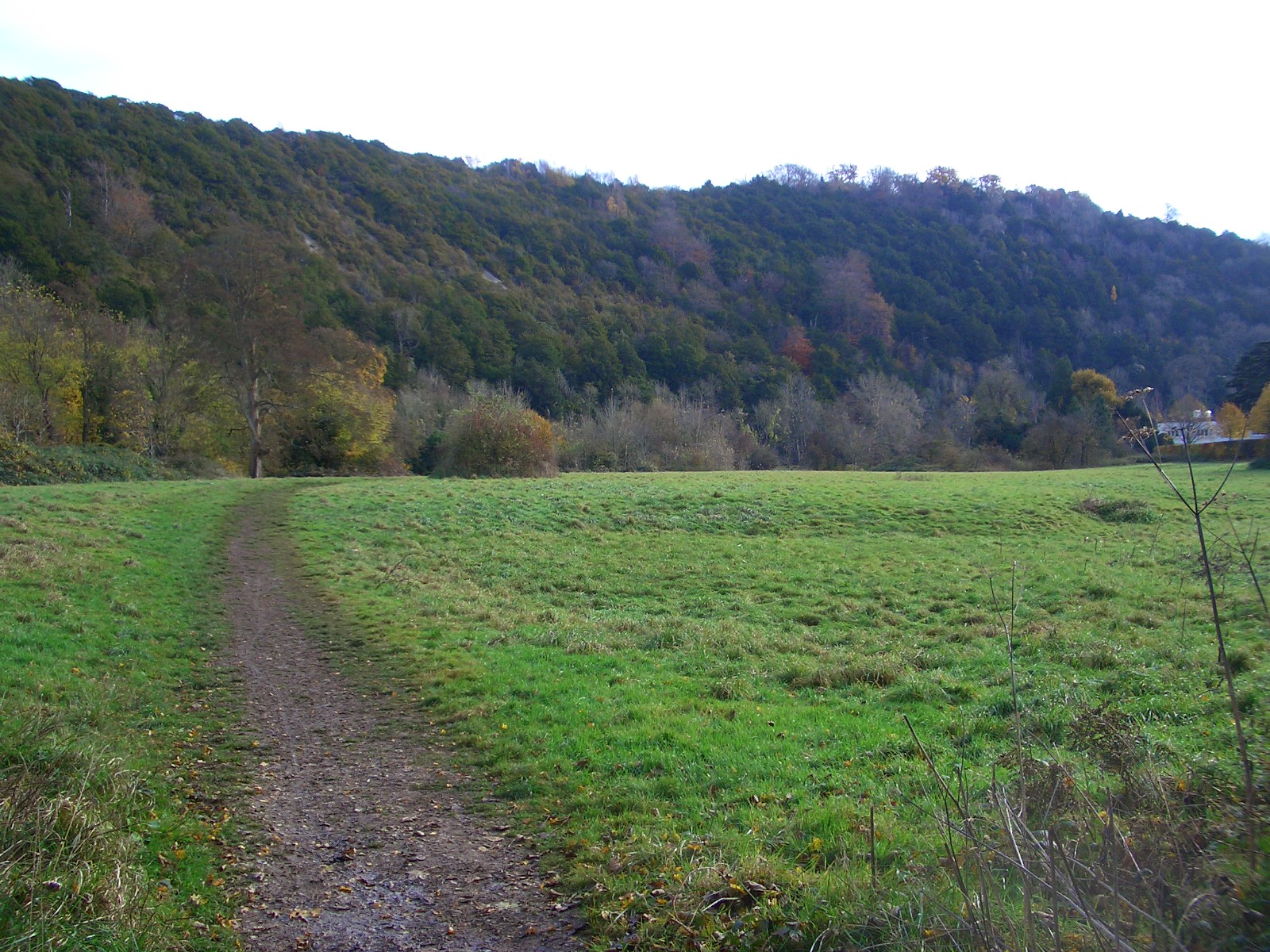
Riverbank Flowers by Betchworth Bridge

Chimney Pots Walk

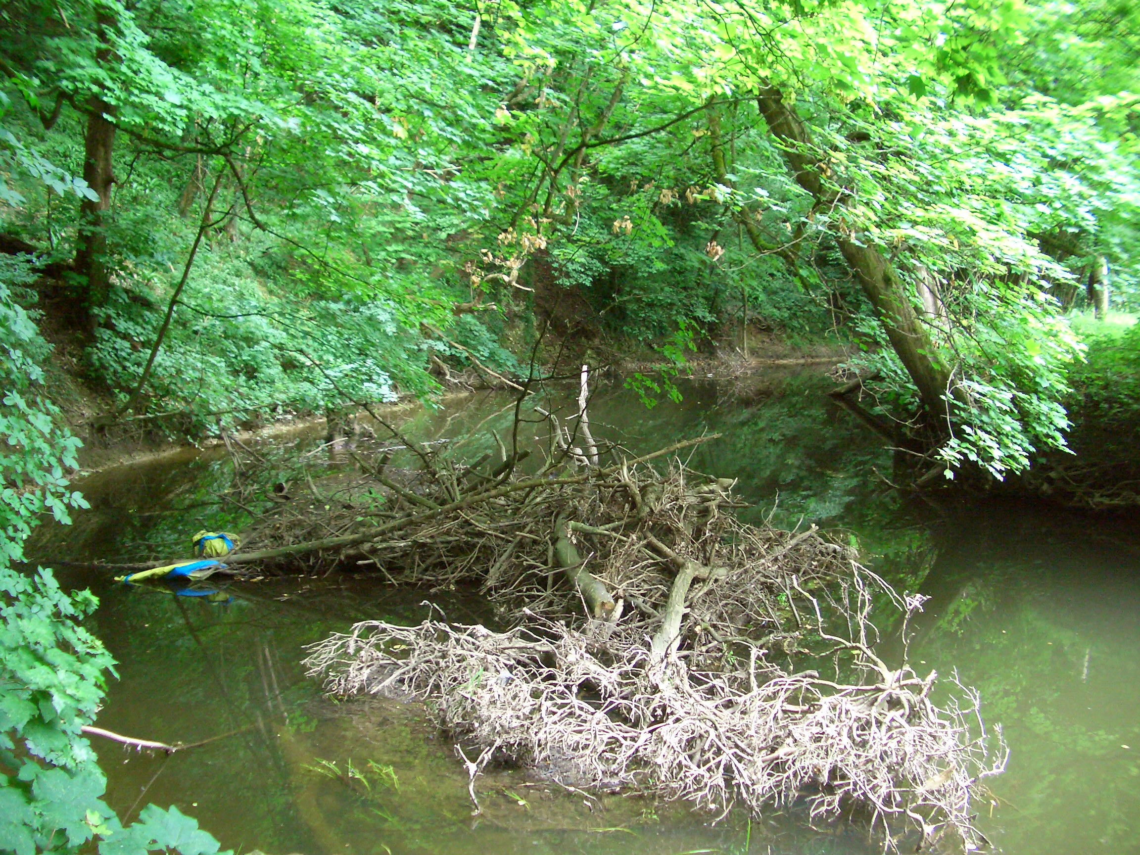
I walked above the Mole as it flowed down from Betchworth Bridge to Brockham. The walk is so-called because you can (more or less) see ‘the chimney pots’ of Betchworth on the other side of the valley. The path starts just south of the bridge, and then moves uphill a bit.

The Mole with Box Hill in the background from the Chimney Pots walk.

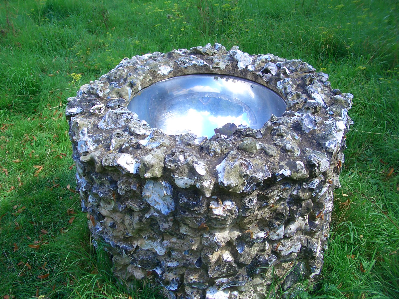
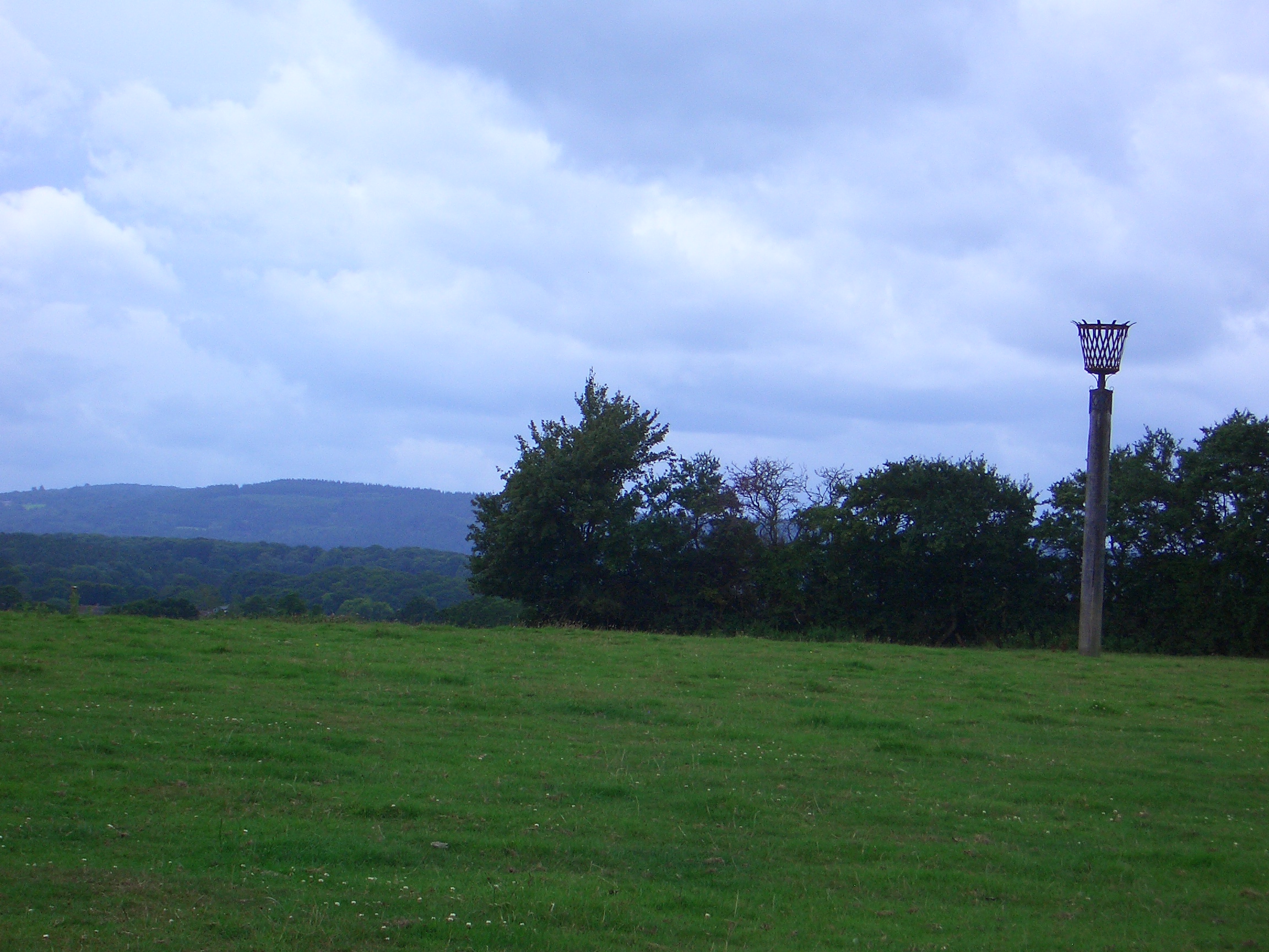
Along the way there’s the Betchworth Beacon, one of those made to mark the Diamond Jubilee of Queen Elizabeth II in 2012. The inscription says that the fire in the beacon was lit by Joosje Hamilton.

The Betchworth Beacon

Brockham

Brockham is a small village with a large pleasant green, famous for big bonfires on fireworks night. There’s another path back to Betchworth along the north bank of the Mole so that the Chimney Pots becomes a circular walk.

The Fountain on Brockham Village Green

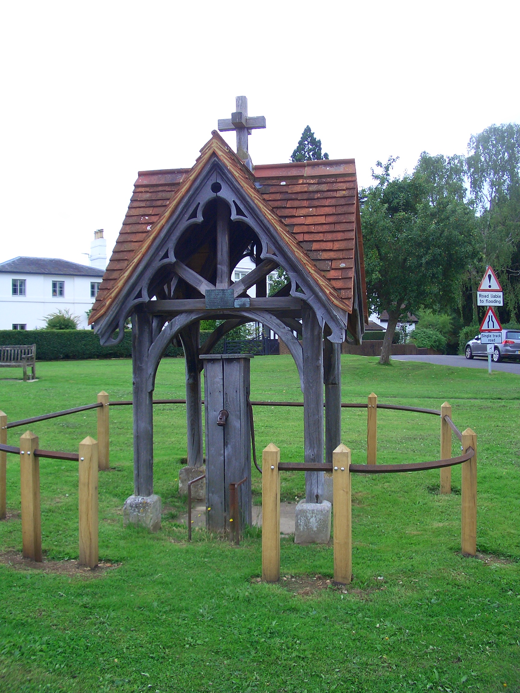
The old fountain on the green bears a plaque reading:

“This Fountain is erected to the memory of Henry Thomas Hope Esq. (of the Deepdene) by his neighbours & tenants resident in the district of Brockham to commemorate his numerous acts of benevolence and his readiness on all occasions both to promote and support public improvements.”

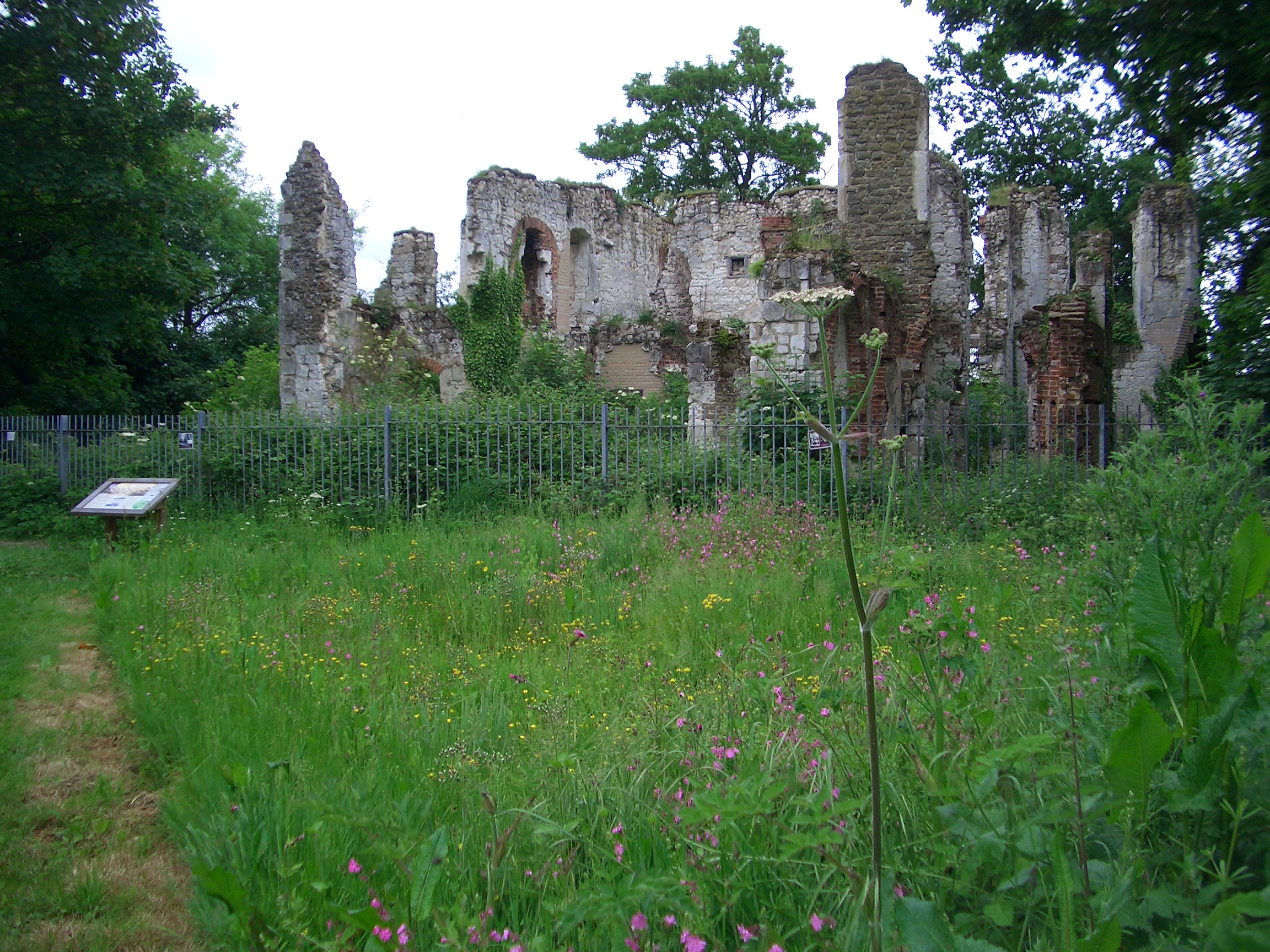
Henry Thomas Hope (1808-1862) was an MP and patron of the arts, and is locally famous as the owner of the Deepdene estate in Dorking, which borders Betchworth Castle, on the next section of the River Mole.
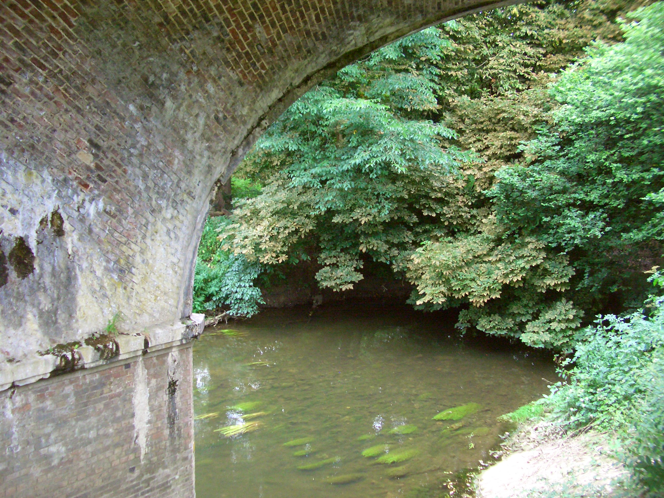
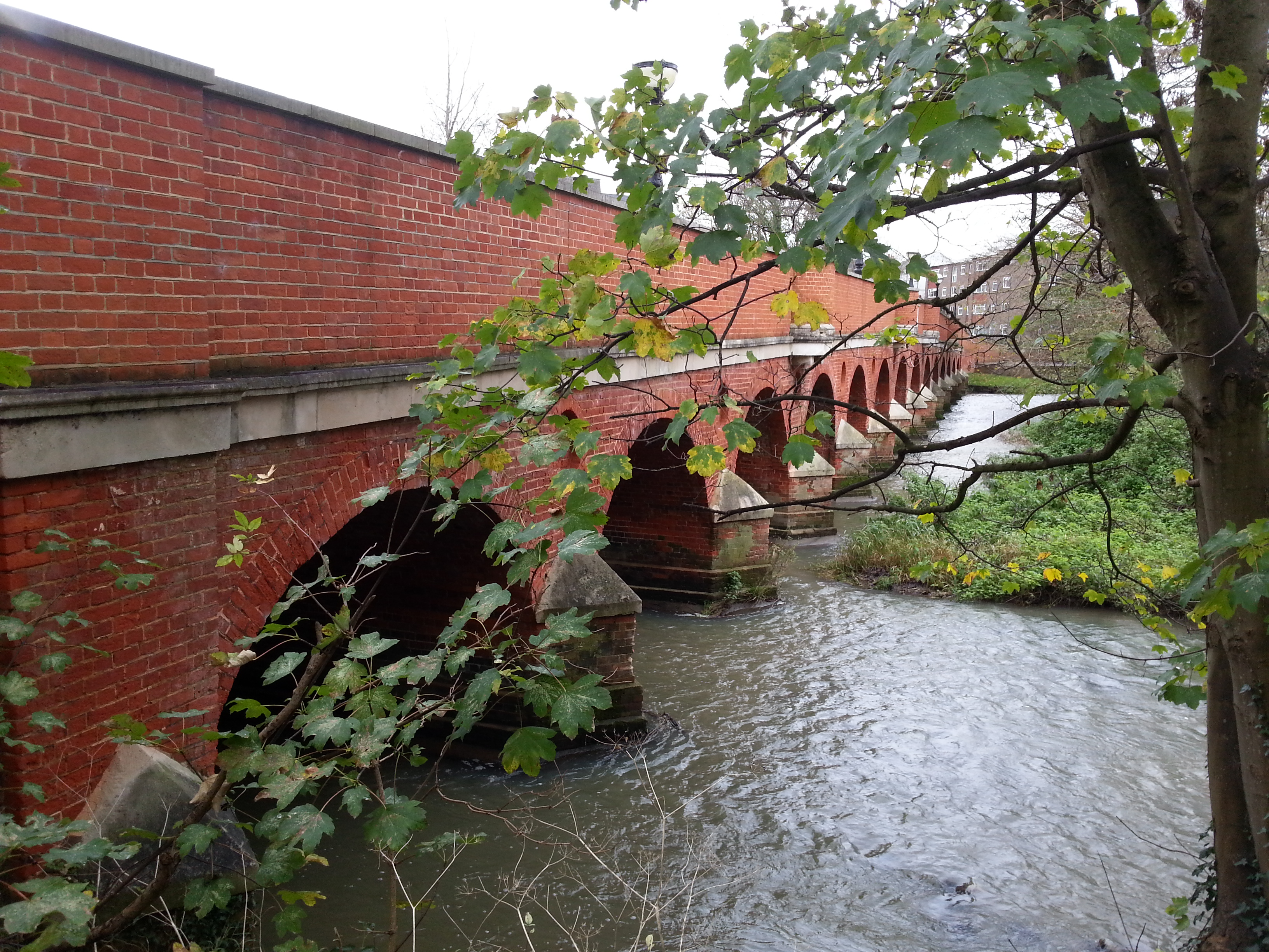
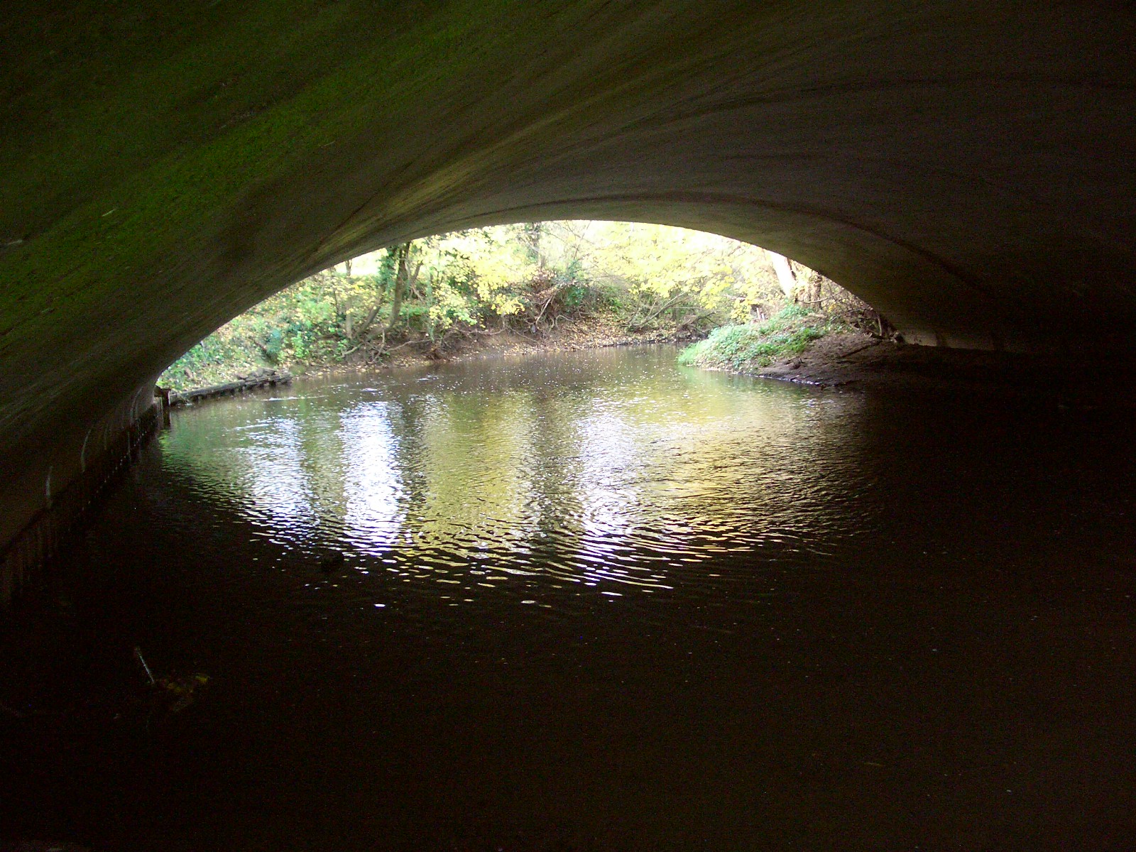
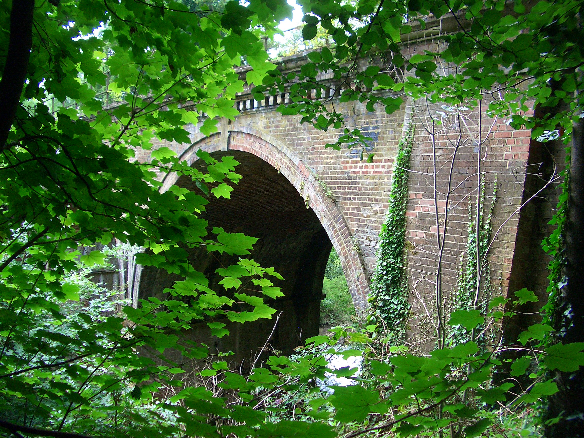
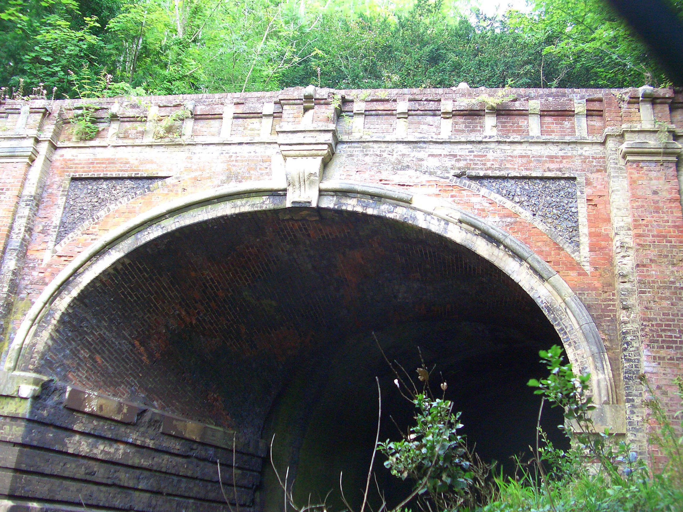
Brockham Bridge

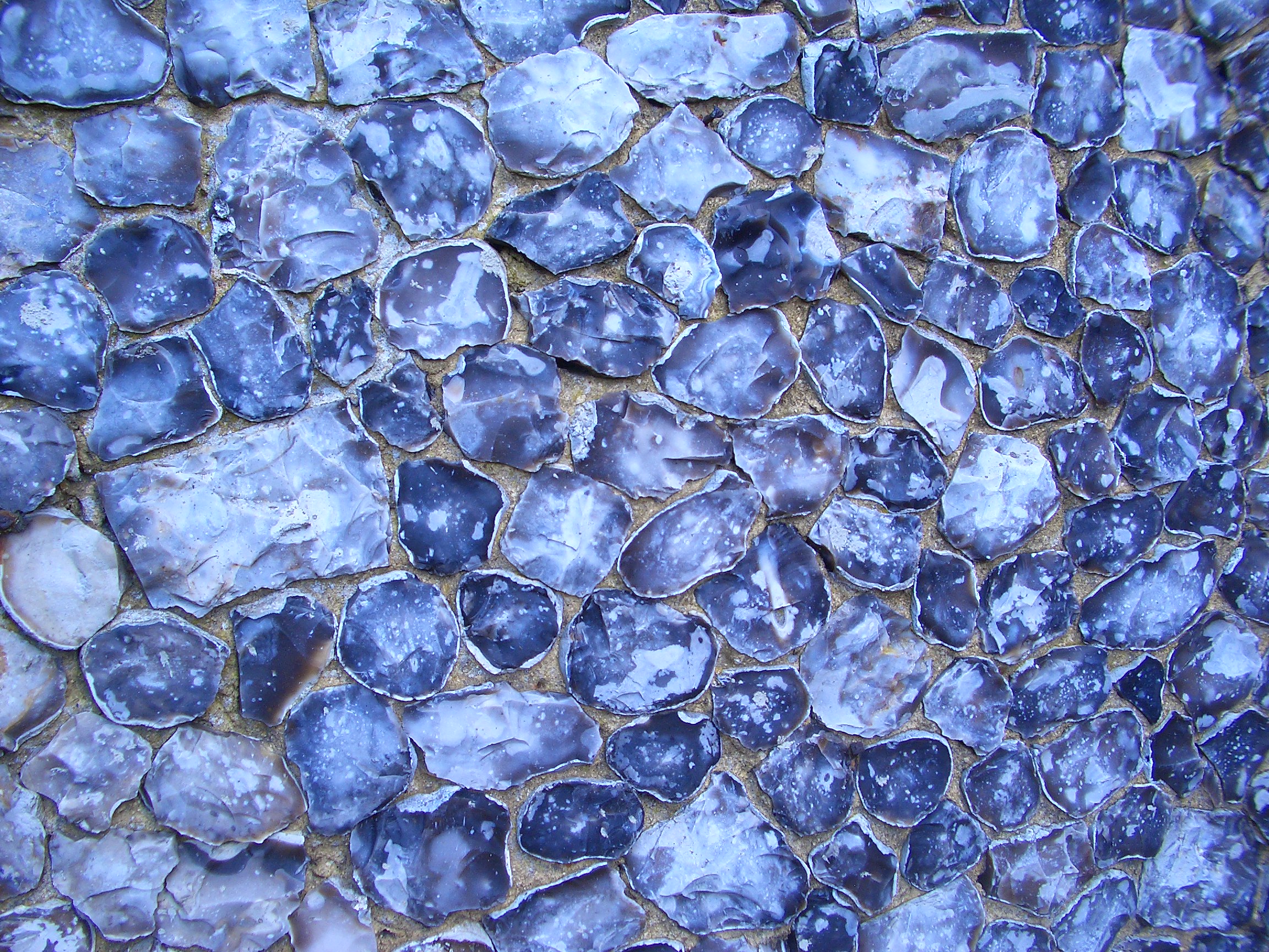
The bridge over the Mole at Brockham has a long history. According to a plaque, the bridge was built in 1737 (see recent pictures of the bridge here, or an old painting here. But according to the Brockham History Webpage, this was a reconstruction of a bridge already in need of repair in 1634.
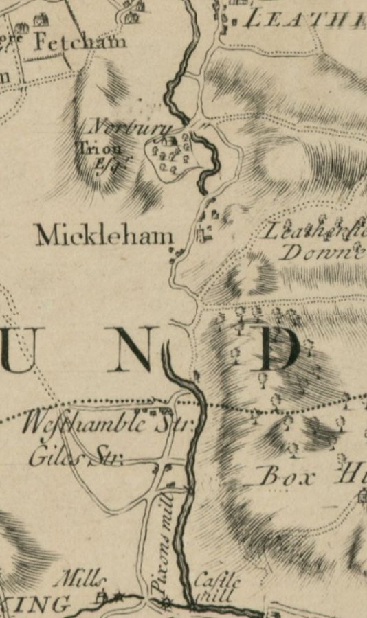
Posted in Angling, Betchwoth and Brockham, Bridge | Leave a comment

Betchworth Castle

The ruins of Betchworth Castle sit high above the River Mole, as the river heads north from Brockham towards Box Hill. The castle is surrounded by the Betchworth Park Golf Club, but there is an access path from the Golf Club entrance on the A25. The castle was a fortified medieval manor house, developed through the centuries and finally made redundant in the 1830s when the owner demolished part of it for the building materials, and left the rest as a picturesque folly.

CIMG1639

The sandstone spur on which the castle sits overlooking the Mole is a strategic spot, and may once have held an Iron Age hill fort. [1] The castle started as an earthwork fortress built by Robert Fitz Gilbert in the 11th century, and was turned it into a stone castle in 1379. In 1448 it was rebuilt as a fortified house, and housed the Browne family for almost 250 years. During the 18th Century it changed hands and various alterations were made.

Abraham Tucker, a gentleman philosopher, bought the castle in 1727, and laid out a formal park with avenues of trees and a water garden, including a fountain, on the east side. He spent his life there, and afterwards his daughter lived there till her death in 1794. It was then bought by Henry Peters, a banker and MP who enhanced the estate but after he died his son neglected the property, and it was finally abandoned in the 1830s.

Bought for £1

In 2011 Martin Higgins, a resident and local historian, bought Betchworth Castle for £1 from Mole Valley District Council when it was at risk from falling down. [2] With the help of volunteers and grants, by 2012 the first phase of conservation was completed, allowing access to the site for the first time in many years. The site now forms part of the Deepdene Trail. [3]

The Lake

A steep slope of lawns and gardens lead down to Castlefields Lake next to the river Mole. Castlefields lake is now a venue for Dorking Angling Society. The lake is naturally spring fed and species present include Carp, Crucians, Roach, Gudgeon, Skimmers, Tench and Perch. The latter three were introduced in 2005.

CIMG1633
View East from the Castle down to the lake and the Mole behind it.

An engraving by Samuel and Nathaniel Buck of 1737 dedicated to Abraham Tucker (the then owner) shows a large ornamental lake, with a fountain jet, below the house
next to the river.

betchworth20buck
East Side of Betchworth Castle S&N Buck, 1737

[Picture http://www.rareoldprints.com/p/13728]

Water Engine House

There is an old Water Engine House next to the River Mole, just to the North West of Betchworth Castle, in the Castle Gardens estate (named after the old kitchen gardens). This consisted of a water wheel and a pump which was used to pump water up to the castle.

This was likely built originally by Abraham Tucker during his upgrade of the Castle and grounds in the 1730s. (The first public water supply in Dorking with an engine house  was apparently constructed in 1738 under Tucker’s auspices.).

An article in Surrey History [4] contains much more detail and some interesting photographs, including the following:

Photograph, taken in about 1900, of the engine house with its thatched roof and waterwheel and also, at the left, a steam-powered Deepdene estate saw mill.
(Courtesy of Raymond Clarke).

The Black Dog

Legend has it that the castle is haunted by a black dog (death dog) that prowls the ruins at night, and the Lord of the Manor who allegedly chased and killed an escaping convict with his sword. He later found out that it was in fact his own son he had killed and is said to now walk around the ruins in regret!

Video Tour of Betchworth Castle

Notes:

[1] Leatherhead and District Local History Society Newsletter November 2009, page 8, talk by Martin Higgins on Betchworth Castle.

[2] Betchworth Castle ruins made safe for Surrey visitors, BBC Surrey News 8 Feb 2012.

[3] Friends of Deepdene – Betchworth Castle

[4] The Water Engine House in Betchworth Park, Dorking by Alan Crocker, in Surrey History, Vol X (2011), p. 11.

Posted in Angling, Betchwoth and Brockham, Dorking, History | Leave a comment

The Battle of Dorking

World War II Defences

Walking along the Mole near Dorking there are quite a few signs of military engineering, such as these anti-tank cylinders near Pixham, built with the purpose of protecting London from a south-coast invasion in the Second World War.

CIMG1708

The Box Hill Riverside Walk Leaflet describes them as follows:

“…an unusual collection of 12 anti-tank cylinders perched at the waters’ edge. Built in 1940, they were part of a wider anti-invasion scheme. These formed part of the GHQ (General Head Quarters) Line ‘B’ anti-tank barrier. GHQ Line ‘B’ ran along the southern slopes of the North Downs in an area known as the Dorking Gap. Its purpose was to create a link of road blocks, tank-traps and anti-tank barriers to protect London and ultimately the industrial heartland of England should an invasion occur. Pill boxes and anti-tank structures were positioned at crucial viewpoints and road or river crossings. The river Mole itself would also have formed a suitable obstacle to an invading force. In August 1940, the 3rd Canadian Infantry Brigade, part of the mobile reserve of VII Corps was positioned to man the GHQ Line defences at the Dorking Gap.”

Tim Denton of the Pillbox Study Group provides some interesting photos and description of a walk around the Dorking GHQ Line ‘B’ defences, and the Leatherhead Local History Society describes some of the WWII defence sites on Box Hill.

But wait – there’s more!

The Battle of Dorking

It turns out that there was an earlier generation of invasion fear, dating back to a magazine story printed in 1871 called The Battle of Dorking.  According to Mike Ashley’s article The fear of invasion:

In 1871 Lieutenant-Colonel George Tomkyns Chesney caused uproar with the anonymous publication in Blackwood’s Magazine of his story ‘The Battle of Dorking’. Chesney believed that Great Britain was unprepared for an armed invasion from Germany, especially after its victory in the Franco-Prussian War of 1870-71. The story is told in retrospect from 50 years in the future when a soldier recounts to his grandson the terrible events. Using a powerful new weapon (called only ‘fatal engines’) the German navy destroys the British fleet and soldiers land in Harwich. They march upon London and the final battle is at Dorking in the Surrey Hills. The British army is defeated. Germany takes control of Britain, and the Empire is disbanded. The reaction to the story was immediate. The British, having grown complacent with their military superiority, were horrified and the Government had to reassure the public that plans to review the army were already in hand. The story was published in a separate booklet and sold in tens of thousands throughout Europe. It also encouraged a host of sequels, including What Happened after the Battle of Dorking (1871), The Siege of London (1871), The Invasion of England (1882) and The Battle off Worthing: why the Invaders never got to Dorking (1887). Chesney’s alarmist story had catapulted the genre of future-war fiction into the public arena.

the-battle-of-dorking-ka-662x1024

It seems likely (to me anyway) that Box Hill Fort was built in the 1890s in response to this uproar.  A Dorking Museum article seems to agree: “…in the 1880s forts were erected on Box Hill and Ranmore. Lord Ashcombe, owner of Denbies, provided the local volunteer force with land and funds for a drill hall.”

The Dorking Museum article also has an interesting note about more recent developments of the story…

What England Expects

The story of the Battle of Dorking had a lasting impact on those tasked with defending England from invasion, but also with those planning invasions!   In the 1940s a German edition was issued to Hitler’s army under the title ‘Was England Erwartet’: What England Expects.

This seems as if it might have been a propaganda exercise by the Nazis as they planned to invade England. But it’s not necessarily that simple. The book was translated with a foreword by one Will-Erich Peuckert. Although not well known to most English readers,  Peuckert [1] was a German folklorist. In this article by Twilight Traveller, he is described as having written “some of the most enchanting books on the history of magic.” So that’s unusual for a Nazi propagandist! But then, even more mysteriously:

“Peuckert, who never compromised with Nazism, would soon [after 1935] be hit by a publication ban, and one of his books was burned in public. In 1945 he and his wife had to flee for their lives, and his unique library of ca. 35000 books was destroyed. “

So we must ask why it seems that Hitler was distributing a book written by banned writer Peuckert.

One of the comments on Twilight Traveller’s article is interesting in this connection:

“Peuckert had a book burnt by the Nazis? I suppose it was probably his ‘Was England Erwartet’, which was an incisive piece of anti-Nazi propaganda that rather brilliantly masqueraded as an anti-English work.”

Although it turns out this wasn’t the burnt book, it is interesting that the commenter thinks that it was anti-Nazi! I’d really like to read a translation of Peuckert’s foreword. Or maybe someone has done a bit of a dissertation on the topic? Calling German History Buffs – does this look like an interesting research nugget? 🙂


[1] Peuckert has a German Wikipedia page, and a shorter English one. I can’t resist retailing “the Witchcraft Controvercy” from the latter:

In Bremen in 1959, Peuckert gave a lecture on ointments with hallucinogenic properties that were prepared and used by witches to leave their bodies and travel in the night. As a brief aside, he mentioned that he had once tried such an ointment himself and achieved results entirely compatible with the out-of-body experiences testified to by the witches. This sentence gave rise to an uproar, as papers made claims he himself practiced witchcraft and flew through the night.

Posted in Dorking, History, Military, Mole Gap | Leave a comment

Under Box Hill

The Mole flows under Box Hill from Pixham in the south to Burford Bridge in the west, skirting Dorking.

Box Hill is of course famous from the picnic in Jane Austin’s Emma, the 2012 Olympic cycling races, and of course Mayday dancing in the dawn with local Morris sides!


Pixham to the Stepping Stones

The first section of the Mole can be followed on foot by a relatively new footpath, starting at the Wyvale Garden Centre (map) on the A25. Walk across the metal footbridge like my friends in the picture and then turn left onto the riverside walk.

CIMG1687

The walk we’re doing is way-points 3 to 7 of the National Trust Box Hill Riverside walk (missing out the up and down bits!).

CIMG1690

Soon you come to Pixham Mill, another of the many Mills on the Mole. According to the Wikipedia Pixham entry, the mill was used for corn grinding and fulling between 1882 and 1910. It is now a private house, but the water channels remain, and if you walk over the footbridge, you can see (through a window) one of the old waterwheels.

CIMG1692

Pixham Mill

CIMG1695

The Waterwheel at Pixham Mill

Walking on from the mill, a railway viaduct goes over the river. This carries the North Downs Line going between Reading and Reigate. Dorking has three railway stations (uniquely for Surrey), and two of them are in the Pixham area.

CIMG1698

Continuing on, there is a sewage works visible on the other side of the river, and Pipp Brook joins the river on the far side, having flowed through Dorking from the Greensand Ridge near Leith Hill. One of the sources of the Pipp Brook is the intriguing Mags Well.

CIMG1704

A stone mini weir on the Mole near the mouth of the Pipp Brook.

Near the Pipp Brook we come to some surprising remnants of the war: some tank barriers. The Mole gap was an important defensive line in the war, blocking a potential invasion from the south coast on its way to London. Further downstream, closer to the stepping stones, there are some pill boxes on the hill.

CIMG1708

Tank barriers (with Karen for scale)

CIMG1566

Pill box by the stepping stones (with modern paintwork!)

There is an interesting history to the militarisation of the Mole which I will post about later.

Stepping Stones to Burford Bridge

It’s possible to carry on the walk at this point by going uphill a little and then down to the stepping stones that carry the North Downs Way across the Mole.

Alternatively, the Stepping stones to Burford Bridge section can be done separately (there is a car park for the stepping stones on the southbound A24, and a car park by Burford Bridge). I did this part of the walk separately in the autumn (which is why the photos look different!).

CIMG1562CIMG1558

You can walk along the hillside bank of the river for a while, and you come to a footbridge.

CIMG1556

Stepping Stones Footbridge
Erected June 1992

This footbridge replaced the
original bridge presented
by the Ramblers Association
in memory of their members
who died in the Second
World War.

Don’t make the mistake I did and carry on along the hillside bank, because the path,  seductive at first, led me a merry chase before abandoning me several hundred feet up the hillside! I ended up sliding down the steep hill on my butt, and then fording the river, which was a chilly experience on an autumn day!

Instead take the nice, well defined path on the road side of the Mole, passing through Burford Meadow. Here are a few pictures of the way.

CIMG1552

The Mole


CIMG1548

Box Hill above the Mole from Burford Meadow


CIMG1546

Looking back on Burford Meadow from Burford Bridge

The Mole flows under the A24 at Burford Bridge, onwards towards Westhumble and Norbury Park. The Stane Street Roman road apparently forded the Mole near here. But before we move on, a passing note of interest – the restaurant at the Burford Bridge Hotel is called the Emlyn Restaurant, following the old name of the Mole. A good enough reason to visit it sometime!

CIMG1545


Posted in Bridge, History, Military, Mill, Mole Gap | 1 Comment

Westhumble to Mickleham

This stretch of the River runs underneath Norbury Park and  Druids Grove, with other interesting things to see (this area warrants multiple explorations!). From Westhumble, we again go past the Chapel of Ease, but when we get to the railway bridge, cross over to the other side of the Mole and follow the path by fields of happy-looking cows.

CIMG1810.JPG

The path comes to a track near Cowslip farm – you can turn East to walk under the railway or West towards Lodge farm (the route we took). The track passes over the Mole at a fast-running section, with a little rubber boat when we were there!

CIMG1814

If you follow straight on, the path goes into the woods. Keep right and go down by the river, you’ll walk up to the entrance to the railway tunnel under Norbury Park.

CIMG1818

The Mole running through the woods


CIMG1820

Looking south from on top of the tunnel entrance

From the top of the tunnel entrance you can see the railway line heading down to Westhumble and Dorking. What you can’t see quite so easily is that about 100 feet beyond the tunnel is a viaduct over the Mole.

CIMG1823

Clambering down by the tunnel entrance you can see the the viaduct over the Mole

The Mickleham Tunnel is 524 yards long, and the southern entrance is quite ornate, with triangular flint panels. As mentioned earlier in connection with the railway viaducts by Common Meadow, Thomas Grissell, then owner of Norbury Park demanded the fancy design as a condition of allowing the railway to run through (and under) his land!

CIMG1827

The Southern Portal, with Karen looking over the ledge above.

CIMG1825

With a train!

Continuing on the track through the woods, we walk downhill to the Mole and over an old bridge to the busy A24 opposite Mickleham.

CIMG1833

Mickleham is an old village nestled between the Mole and the hills north of Box Hill. Many places in these hills are named after the juniper bushes which used to grow on the downs (once common but now rare).

Mickleham lies near to the old Roman road known as Stane Street, which ran from London to Chichester.

CIMG1843

Facade of Mickleham Church made of ‘Surrey Diamonds’

CIMG1835

View across the Mole to Norbury Park from the gardens of the King William IV pub, Mickleham


Posted in Bridge, Mole Gap | Leave a comment

Swallow Holes

molemap2 The Gap on the Map

Nathan Bailey wrote in 1731 that the River Mole is so named  because “like a Mole, it forces its passage underground” [1].

This underground passage is shown on John Senex’s 1729 map of Surrey (see right). There is a gap shown in the river by Mickleham, as the river travels north alongside Box Hill towards Leatherhead. But was it really like that?

Daniel Defoe’s Observations

The novelist Daniel Defoe, who lived for a while in Dorking, was critical of these maps. In his travel book published in the 1720s [3], he spends a lot of time on the topic, saying that the maps were made by those who had never visited the place, and he confirms that the river ran ‘sharp and broad’ above ground by Mickleham:

“…nor did I ever know it dry in the dryest summer in that place, tho’ I liv’d in the neighbourhood several years: On the contrary I have known it so deep, that waggons and carriages have not dar’d to go thro’; but never knew it, I say, dry in the greatest time of drought.

However, he describes how the water flow is reduced by what he calls swallows, little channels which take the water away:

“…beginning, I say, where the river comes close to the foot of the precipice of Box-Hill, call’d the Stomacher, the waters sink insensibly away, and in some places are to be seen (and I have seen them) little chanels which go out on the sides of the river, where the water in a stream not so big as would fill a pipe of a quarter of an inch diameter, trills away out of the river, and sinks insensibly into the ground.

In this manner it goes away, lessening the stream for above a mile, near two, and these they call the Swallows; and the whole ground on the bank of the river, where it is flat and low, is full of these subterraneous passages; so that if on any sudden rain the river swells over the banks, it is observed not to go back into the chanel again when the flood abates, but to sink away into the earth in the meadows, where it spreads.

A Modern View

Wikipedia has a nice article on the Mole’s swallow holes:

“Between Dorking and Leatherhead the Mole cuts a steep-sided valley through the North Downs, creating a 170-metre-high (560 ft) river cliff on the western flank of Box Hill. The bedrock is permeable chalk and the water table lies permanently below the level of the riverbed, allowing water to drain out of the river through swallow holes in the bed and banks. The amount of water lost from the river is significant and in very hot summers the channel can become dry between Mickleham and Thorncroft Manor; this was recorded most recently in 1949 [see below] and 1976. At Leatherhead, the river leaves the chalk and flows across impermeable London Clay. At this point that the water table rises enough for the water to flow back into the main river channel.

In a survey in 1958, the geologist C.C. Fagg identified 25 active swallow holes between Dorking and Mickleham; most were only a few centimetres in diameter and were located in the vertical banks of the river below the water line. Most holes were difficult to observe in times of normal or heavy flow and were susceptible to silting up as new holes were continually being formed. A few much larger swallow holes were also observed separated from the main river by a channel of about a metre. About six of these larger swallow holes were found to the west of the Burford Bridge Hotel, along the course of the A24 Mickleham Bypass during its construction in 1936. Initially the surveyors tried to fill the holes with rubble to prevent the foundations of the new road subsiding. However this proved to be impractical and they were instead covered by concrete domes, up to 18 m in diameter, each fully supported by the surrounding chalk and provided with a manhole and access shaft to allow periodic inspection.

The water removed from the swallow holes also feeds the springs in Fetcham Mill Pond: In still conditions the resulting underwater spring can be seen emerging from the pond bed as a small “chalk volcano”. [4]

The 1949 Dry Patch

65886_synch-l

1949 picture of Swallow-hole in bed of River Mole

Photo credit J Rhodes “Photograph of swallow-hole in bed of River Mole”.
Geoscenic Digital Assets. British Geological Survey

The description of the photograph runs:

The photograph is of Ham Bank, Mickleham looking South (upstream). A number of swallow-holes are present in the bed of the River Mole, between Dorking and Leatherhead, many of which were exposed to view during the dry summer of 1949. The surface flow of the river gradually lessened downstream from Dorking due to loss in swallows, and the final remnant about 1 million gallons a day disappeared down a single swallow at Ham Bank; beyond the stream bed was dry.

The 2011 Mystery

In September 2011, the Leatherhead Advertiser ran an article on the Mole running dry:  Mystery of river that vanished into thin air. The picture below shows the sorry state of the river. Apparently this occurred a couple of times, but each time the water was restored within 24 hours. The cause is uncertain, and although swallow holes might be to blame, other possible causes are also considered.

3211521

Picture credit: Leatherhead Advertiser

second article a few months later suggests that the problem may have been caused by a hydropower scheme at Betchworth Estate, although the estate manager disagrees. The Environment Agency investigations continue…


Notes:

[1] An Universal Etymological English Dictionary, N. Bailey, 1731. eBook here.

[2] Map source: http://gallica.bnf.fr/ark:/12148/btv1b59670259/f1.zoom

[3] Daniel Defoe’s three volume travel book, Tour Through the Whole Island of Great Britain published between 1724 and 1727, Letter 2, Part 3: Hampshire and Surrey. eBook here.

[4] Geomorphology of the River Mole, from the Mole Valley Geology Society. There is also a map of the swallow holes in this reference.

Posted in History, Map, Mole Gap | 5 Comments

Poem of the River Mole

My favourite poem of the River Mole is a modern one, written by Lorna Dowell. Lorna first started publishing her work in 1999 and was appointed Mole Valley Poet Laureate in 2000, a post she held for three years.

I first came across the poem on the Leatherhead Riverside Walk leaflet, and liked it a lot, so I was very pleased when Lorna gave her permission for me to reproduce it here. I hope you enjoy it too!


The River Mole

A silver snake, sun-baked
slithers through grass
fields, round swollen mounds
of Mickleham, curling past
the bottom of Box Hill,
alongside the winding A25 –
a tarmac imitation left behind
like shed, constricting skin.

The serpent wriggles free

for, whilst rain hits road
and – static – drowns, on water
it types out it’s soft quick
sound with tickling fingertips.

The river shivers – itches
and shimmies underground.

Lorna Dowell


CIMG1684

Posted in Poetry | Leave a comment

Norbury Park and Druids Grove

After passing under Burford Bridge, the Mole flows north through Norbury Park, an area of woodland and agricultural land now managed by Surrey Wildlife Trust. The park lies on hills rising from the western bank of the Mole, with a privately owned 1774 mansion at the top. The mansion replaced an earlier manor house close by the Mole.

The mansion’s former occupants include William Locke and his family, who were regularly visited by the celebrated 18th-century novelist Fanny Burney. Dr Marie Stopes, the early feminist and birth control pioneer, lived at Norbury House until her death in 1958.

More recently the house has seen troubled times, with a fire in 2005 and three years later the mysterious death of the owner, an exiled Georgian billionaire who, according to the Daily Mail,  was “a close associate of Andrei Lugovoy, a former KGB officer wanted in Britain for the murder of Litvinenko.”

Walking from Westhumble

A path down the side of the Westhumble Chapel of Ease leads to fields by the Mole, and a railway bridge built in the same style as the ones in Leatherhead’s Common Meadow.

CIMG1685

Looking under the railway bridge back towards Burford Bridge

CIMG1686

Downstream from the railway bridge into Norbury Park

The walk carries on into woodland at the base of Norbury Park.

CIMG1683

CIMG1681

The Druid’s Grove

Climbing up through the woods away from the Mole leads to a pleasant, but well-hidden surprise – a grove of ancient Yew Trees called the Druid’s Grove:

Earlier writers and historians have referred to it as the Druids Walk, but this separate wood was not named on any maps until the 1873 OS map called it Druid’s Grove.  In 1878 Louis J. Jennings wrote in his book Field Paths and Green Lanes:

“A private path southward of the house leads straight down to the Druids’ Walk. It is best to approach it from the upper end, and to go in summer when the oaks and beeches are in full foliage, for then the shade they cast adds much to the mysterious appearance of the grove…”

CIMG1664.JPG


“The trees in their long and slow growth have assumed many wild forms, and the visitor who stands there towards evening, and peers into that sombre grove, will sometimes yield to the spell which the scene is sure to exercise on imaginative natures — he will half fancy that these ghostly trees are conscious creatures, and that they have marked with mingled pity and scorn the long processions of mankind come and go like the insects of a day, through the centuries during which they have been stretching out their distorted limbs nearer and nearer to each other.”

CIMG1673CIMG1680

“Thick fibrous shoots spring out from their trunks, awakening in the memory long-forgotten stories of huge hairy giants, enemies of mankind; even as the ‘double-fatal yew’ itself was supposed to be in other days. The bark stands in distinct layers, the outer ridges mouldering away, like the fragments of a wall of some ruined castle. The tops are fresh and green, but all below in that sunless recess seems dead. At the foot of the deepest part of the grove there is a seat beneath a stern old king of the wood, but the genius loci seems to warn the intruder to depart — ancient superstitions are rekindled, and the haggard trees themselves seem to threaten that from a sleep beneath the ‘baleful yew’, the weary mortal will wake no more.”

CIMG1678

CIMG1672CIMG1679

The Yews are among the oldest in Britain, and this paper about Yew dating puts some of the Druids grove Yews at 2000-3000 years old! (But the Ankerwyke Yew down the road in Staines is bigger still (girth of 9.43m versus the Norbury maximum of 7.92). Venerable trees indeed!

Hill top

Walking up towards the Mansion there is a viewpoint looking across the Mole Valley, and behind the mansion there is a sawmill managed by Surrey Wildlife Trust.

CIMG1508

Walking down again to the Mole, there is an artwork in the middle of a field: Wellfont, by Alison Gill.

CIMG1510

Wellfont

Wellfont

This octagonal well head was made from Surrey
Diamonds (local flint) and lime mortar.

Wellfont marks the journey of water on its
endless, life-sustaining cycle. Travelling from
ancient springs, lakes, rivers and great oceans on
the earth’s surface to condense into a mass of
vapour suspended overhead; then falling to the
soil once again.

Water lore and customs of water worship have
developed over millennia. Many holy wells and
sacred springs still survive throughout the
British Isles”

CIMG1494

And so goodbye to Norbury Park.
The Mole flows on, north towards Leatherhead.

Posted in Contemplation, History, Leatherhead, Mole Gap, Uncategorized | Tagged , , , | Leave a comment

Thorncroft

There is a very pleasant riverside walk [1] along the Mole from Norbury Park through Leatherhead, which shows off a great deal of interesting history and wildlife.

southwalk

Riverside Walk Panel in Thorncroft Vineyard

Thorncroft Manor

The first stop after Norbury Park is Thorncroft farm, which is currently the base for Yum Cha Iced Teas, made with elderflowers and nettles, both of which grow in the vineyard by the river mole. The farm is owned by Guy Woodall, the inventor of “aerosol tea”:

Someone’s come up with aerosol tea and people are losing their minds

You can read a bit more about the annual elderflower harvest here.

The Manor House of Thorncroft was the residence of Mary Drinkwater Bethune, the author of the poem The River Mole, or Emlyn Stream discussed in a previous post.  She writes:

“Yet wandering slowly on its gentle way,
Amid the sunny fields of Givon’s Grove,
Glittering between the tufted alder boughs,
Which cast their changing shadows on the stream,
The Mole steals softly now by Thorncroft’s meads.
Serene and silent, not a ripple plays
Upon its bosom, not a murmur tells
Its passing; but, like voiceless Time, it glides
Beneath the bridge and the o’erhanging screen
Of leafy boughs, where yonder timorous bird,
The golden-crested wren, has built her nest…” [2]

sethorncroftta11

Thorncroft Manor in 1842, (image from http://www.antique-prints-maps.com)

Thorncroft Manor was one of the two feudal manors of Leatherhead from Norman times. It was held by Merton College, Oxford from 1266 to 1904. In his notes on Mary Bethune’s poem, Willam Cotton talks about the Manor house:

“The old Manor House of Thorncroft was built by Robert Gardyner, sergeant of the wine cellar to Queen Elizabeth, whose decease is recorded in a curious inscription written by Thomas Churchyard, the court poet, and engraved on a brass plate affixed to the wall in the south aisle of Leatherhead Church.

Thorncroft became afterwards the residence of Richard Dalton, Esq., sergeant of the wine cellar to King Charles II., and continued in his family for several descents. On the property falling into the possession of Henry Crab Boulton, Esq., he built, in 1772, a handsome new house on the site of the old timber-framed mansion, from a design by Sir Robert Taylor, architect of the Bank of England ; which was considerably enlarged afterwards by his nephew, the late H. Boulton, Esq.”

The house ceased to be a private residence during World War II when it was occupied by Canadian Soldiers. It is now the home of AGR Dynamics.

thorncroft-bridge

Thorncroft Bridge in 1824 (frontispiece to Mary Drinkwater Bethune’s “The River Mole or Emlyn Stream”)

20151126_122845

The view upriver from the present-day Thorncroft Bridge, with possible Kingfisher burrows.

Wildlife note: this part of the river Mole has places where the bank is eroded (as seen above), often on the outside of bends. Kingfishers love to nest in burrows dug into these sandy banks, and are relatively plentiful on this stretch of the Mole (I saw a kingfisher on two out of three walks in the area).

The Islands

Carrying on down towards the centre of Leatherhead, there are a number of islands in the river. Two are joined by the ‘shell bridge’ (so called because of the large shell ornamenting its keystone).

20151126_123708

The Shell Bridge

Wildlife Note: As the shallow water runs over gravel it creates riffles (miniature rapids) where many fish species spawn.

20151126_123514

Riffles in the river

The islands near Thorncroft bridge are rich in Alder trees, and apparently give a wonderful display of wild garlic each spring (I will have to go back and visit in the springtime!). Otters would once have been plentiful on the river, but they are now out-competed by non-native minks. Efforts have been made to help otters re-establish on the river, and recently the Lower Mole Countryside Trust installed an Artificial Otter Holt on one of the islands by Thorncroft.


Notes:

[1] Leatherhead Riverside Walk Leaflet

[2] The River Mole, or Emlyn Stream

Posted in Bridge, History, Leatherhead, Poetry | 3 Comments

Leatherhead

As the Mole approaches the Town Bridge in central Leatherhead, the stream is divided by three islands so that by the time it reaches the bridge, it arrives in different streams.

20151126_124909

Upriver of Town Bridge, Leatherhead

The fastest stream is by the eastern bank, and there I met some kayakers who had paddled down from Box Hill.

20151126_125434

This bit of riverbank, where Minchin Close now stands, was the site of a watermill and tannery, operating from 1826 until the 1870s. In 1888 one of the lead-lined baths was opened as a swimming pool and in 1900 this was taken over by St John’s School until they built their own pool in the school grounds. The area was cleared and the mill demolished after World War II for the construction of Minchin Close, but traces of the watercourse may still be seen where it entered the river. [1]

It is tempting to think that the name Leatherhead was to do with leather working, but this does not seem to be the case. One of the earliest references to Leatherhead is in the will of King Alfred the Great in c880 in which land at ‘Leodridan’ was bequeathed to his son, Edward. The meaning of the name has been the subject of debate, but the most likely is that is a British name meaning ‘grey ford.’ [1] (Welsh Llwyd-rhyd)

According to the Leatherhead Riverside Walk Leaflet [2], a bridge existed at this spot since the 13th Century:

“By the 17th and 18th centuries complaints about the state of the bridge became so common that in 1760 it was kept locked and keys only issued to those who paid for them. Others would have used the adjacent ford.

In 1774 the Surrey justices recommended that Leatherhead Bridge should be repaired and enlarged. Eight years later the bridge came under the control of the county authorities and it was rebuilt by George Gwilt, the County Surveyor. At the same time he rebuilt the medieval bridges at Godalming and Cobham, all to a similar design. The existing piers were incorporated in the widened bridge which had fourteen equal segmental brick arches and corbelled pedestrian refuges.”

20151126_1309390

Town Bridge from down-river, near where I saw a kingfisher and a mink

The bridge has been refurbished since, but its appearance is essentially unchanged. According to the leaflet Town Bridge is a very popular spot to look at the river, and observe wildlife. While I was there I spotted a kingfisher perched on a tree, and a black mink playing on the bank. An amazing sight in a busy town centre!

mink

The mink… (not a very good photo I’m afraid!)

kingfisher

…and the kingfisher!


Notes:

[1] EXTENSIVE URBAN SURVEY of SURREY LEATHERHEAD (Surrey County Archaeological Unit)

[2] Leatherhead Riverside Walk Leaflet

Posted in Bridge, History, Leatherhead, Mill | Leave a comment