The river seems to alternate between lovely natural stretches and more industrial sections, and the journey from Molesey Heath towards Esher is more of the industrial type. At the back of Molesey Heath the river flows around the Walton on Thames Camping and Caravanning Club, one of the oldest in Britain. On the far side of the Club is the point where the Ember divides from the Mole so they can surround the Island Barn Reservoir.
There is a track by the Mole which leads from the Caravan Club to the railway line which runs between Esher and Hersham. On the right there are fields with horses, part of Fieldcommon Farm, and on the left the river, dug out deep as part of the 1970’s flood prevention scheme. On the other side of the river is Esher Sewage Treatment Works and then Sandown Industrial Park.

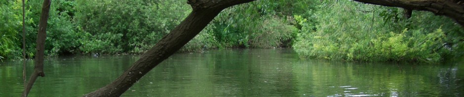
From the Caravan Club looking south towards Esher
Just before the railway line crosses the river, there is a weir and footbridge which leads across to Mill Road off Lower Green Road. This was the original site of the Esher Royal Mills. According to G. B. Greenwood [note 1], the Mills have a long history and were an important manufactory in the 17th and 18th centuries for brass wire and associated merchandise. The first mention of the mill was in 1200, when “the monks of Croix St. Leufrey, to whom the Manor of Esher had been given by William 1st, came into the King’s Court and entered into a recognisance to pay for their Mill at Ashal (Esher) 12 broches of eels yearly to Henry de Bohun and Reginald Cruce, by the hands of Roger the Miller.”
The mill was in use for hundreds of years, being used for making brass wire from about 1649 and then paper in 1847. In the 20th century the mill buildings were used for various manufacturing enterprises. Nowadays, all that remains are some of the waterways that fed the mill.
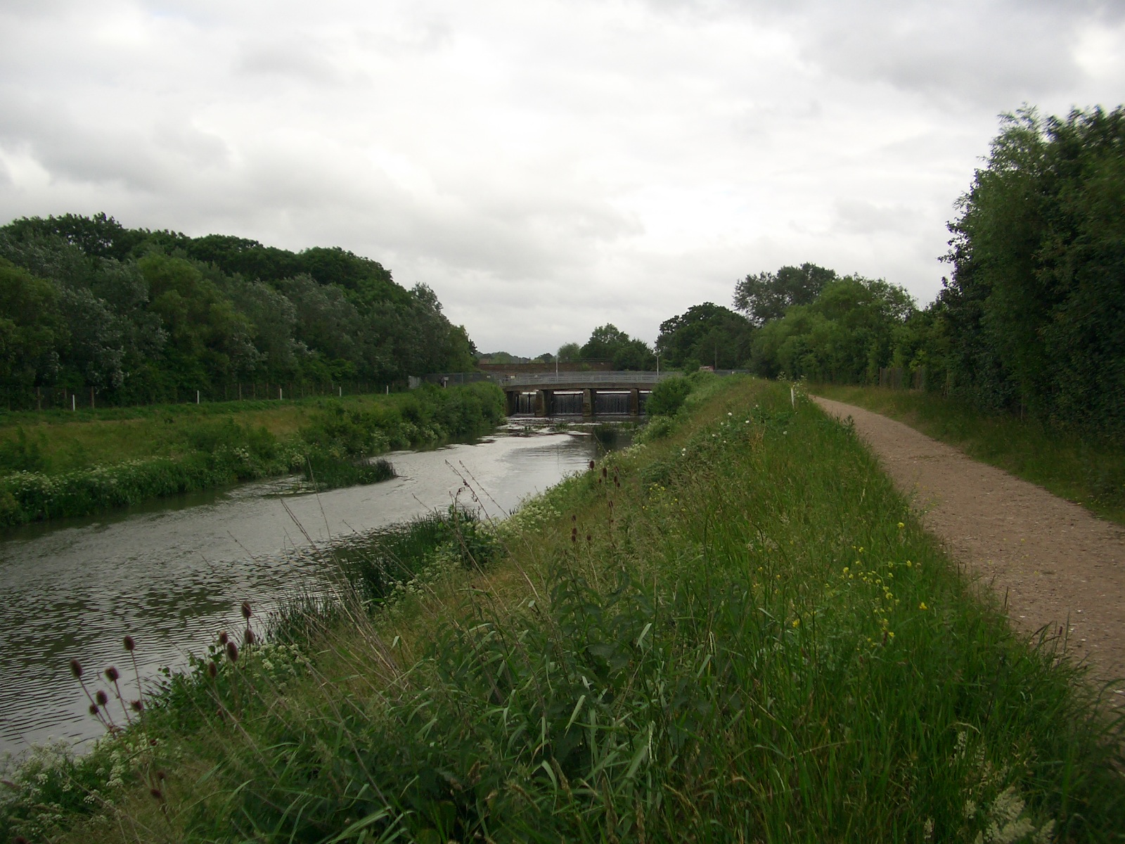
Approaching the Royal Mills Bridge and Weir
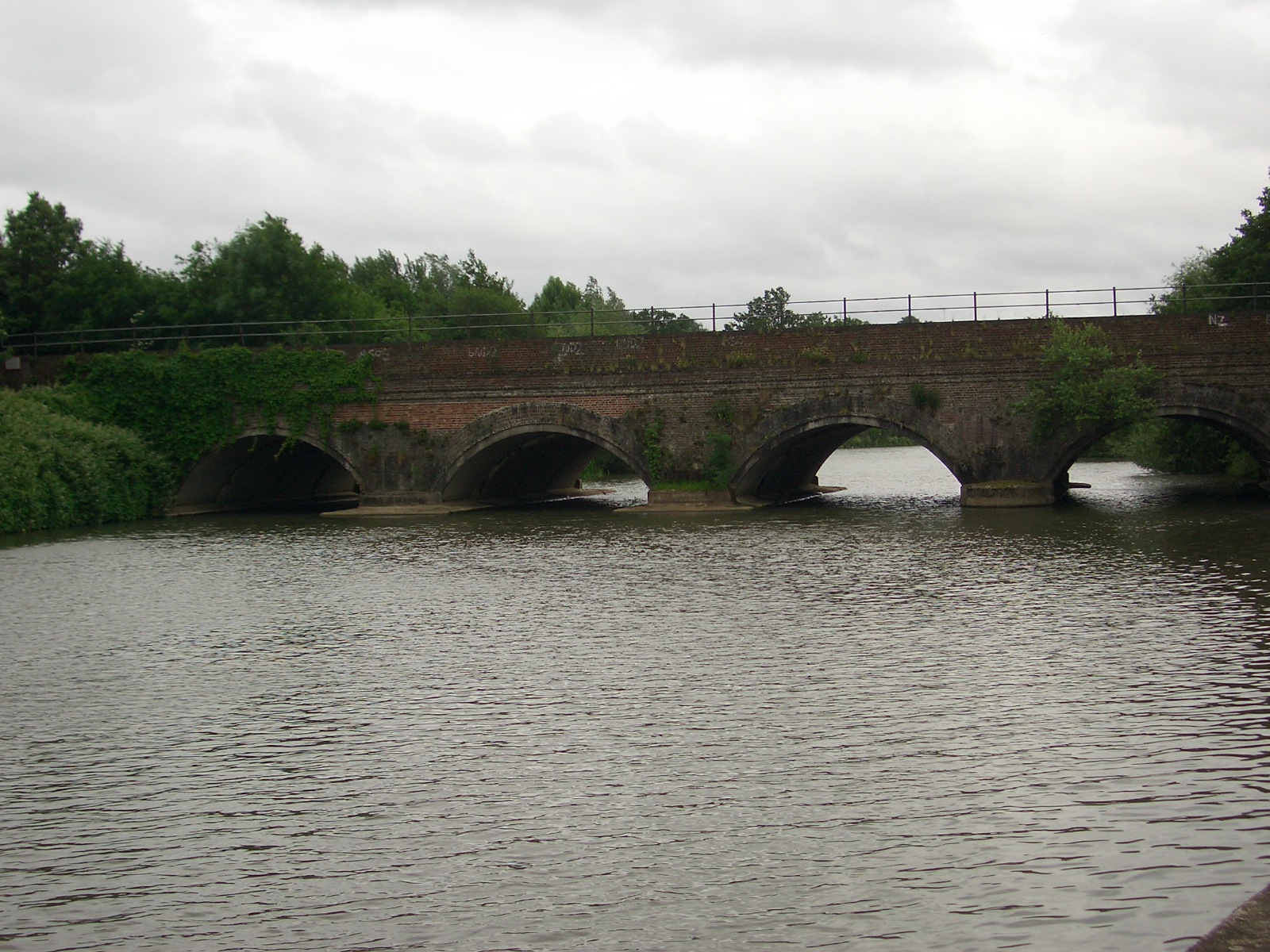
The viaduct for the Esher-Hersham railway line seen from the Royal Mills footbridge.
Note 1: Taken from an extract of Monograph No. 8 (August 1980): An Account of Royal Mills Esher by G.B. Greenwood, on the Esher District Local History Society website at http://www.edlhs.co.uk/Monographs.html

The straightened and uniform flood channel now found in this section of the Mole (Hersham railway line downstream to Hampton Court) was built in 1983-84. Previously, the river here followed a sinuous course with many natural features such as riffles, pools, undercut steep banks etc and was often lined by willows. Old OS maps or aerial photos show the remarkable course which existed here previously. The campsite you mention was formerly adjacent to a very acute meander which probably added to its charm. There exists a postcard of this site from about the 1920s with campers togged up and basking by the river which at that time was an integral part of the site’s attraction (i imagine it is now fenced off from the campers on health and safety grounds).
When the new engineered channel just to the north of the original course was completed in 1984, all water was diverted down it and the old channel was unceremoniously filled in. I had fished the old course as late as the autumn of 1983 – it was an attractive river to fish and offered free fishing for chub, roach, dace and pike that was relatively remote so lightly fished. I also obtained permits to fish off the island here from a bookbinders (presumably now long gone) in the nearby industrial estate. But when i turned up to fish in June 1984 I was shocked to find that the old course had been filled in!. How silly of me to imagine that the flood channel would only be used to transport floodwater and the natural channel would be left alone!!. It was heartbreaking to say the least – and i think a rather cynical and misguided decision more in keeping with the crass river management of the 1960s-70s, rather than the 1980s – a period when environmental awareness was on the agenda (even if river engineers wished it were not). It is even more galling now that so much of the new course is fenced off to anglers and walkers, and of course is of very low value to river corridor wildlife compared to what was there previously.
The only original part of the rivers course here which still remains is the weir pool and backwater below what i call “Hersham weirpool” – the original pool closer to where Esher Mills once stood, but that is starved of the lions share of the flow it formerly had. The original course of the channel is shown, in some places, by meandering lines of willows that originally lined the top of the river banks.
This is fascinating and I wonder did you ever fish from the Wayneflete Estate – accessed via the Public Footpath at the end of Pelham’s Walk?